Revised post!
These two photographs were found among the papers of Kenneth Hauer, a local photographer who had a studio on North High Street. The photos were taken in 1948 at the intersections of Summit and Maynard.
 The first photo is taken from the west side of the accident, looking toward the businesses on the northeast corner of the intersection of Summit and Maynard. The building’s address is 2336 Summit Street.
 The second photo is taken from in front of that business building, looking west/northwest.
Now to be clear, in my original post I got it all wrong! Larry L Lower was instrumental in discovering the location of Kenneth Hauer’s accident pictures. (Previously, I’d placed the accident at 4139-4147 North High–though admittedly the buildings there today have significant differences from the old photos–because I couldn’t find any other location and Kenneth Hauer’s studio was at 4139 North High.)
I do not how many hours Larry worked on this but he deserves some sort of prize! He said,
The storefront property in your photo matches an existing building on the northeast corner of Summit and Maynard. Across the street on the northwest corner are two buildings that match the two buildings in your second photo.
The storefront photo shows First National Cleaners in the far left store front. The 1947 Polk city directory showed a business of the same name in the same position of the building at Summit and Maynard, which is 2340 Summit.
Summit and Maynard are one-way in 2012. They were two-way in 1948. That would explain the direction of all of the automobiles in your photos.
Larry undoubtedly got it right; both the building and the houses across from this building match the photos that Kenneth Hauer took exactly. Thanks, Larry! (Note: you can compare the 1948 pictures with the intersection today using Google’s Street View.)
Other readers: Charles (Coryn), Nina, Bob, Terry (Seidel), and Genie (Hoster) also contributed critiques and/or theories of how to solve the puzzle. Without doubt my original post, wrong as it was, garnered more comments than any other post on my web site.
You can click on the photos to see them in more detail. (Photos courtesy of Marge Hauer.)
Original post:
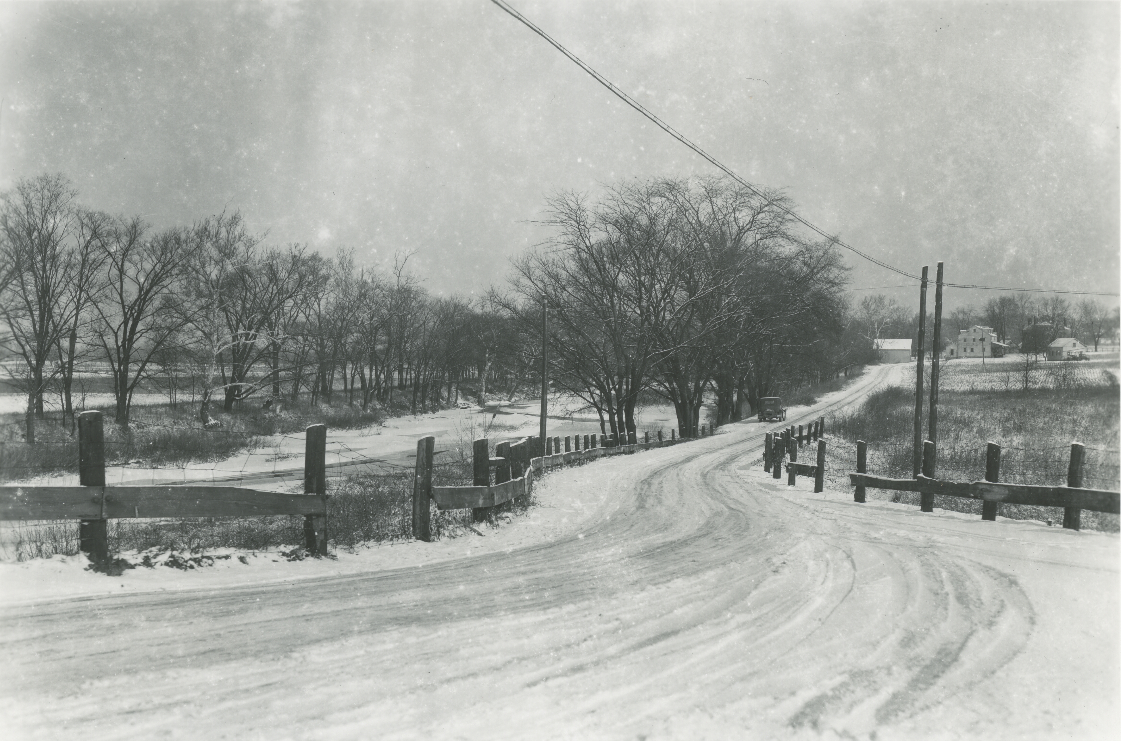
These two photographs were found among the papers of Kenneth Hauer, a local photographer who had a studio on High Street. The photos were taken in 1948 at the intersections of Westwood and Overbrook and North High Street. I have compared the photos with the same location today, and remain puzzled (Note: you can do this online using Google’s Street View.
The first photo is taken from the east side of the accident, looking toward the businesses on the southwest corner of the intersection of Westwood and North High Street.
The second photo is taken from in front of that business building, looking east/southeast. I’m amazed at the houses that are shown on the east side of High Street. Today, these houses are no longer there—and the land where the houses sat does not exist anymore, either. Today, the land falls away steeply into Overbrook Road and Ravine.
Could the land have changed this much?
Another snippet: I’m told that there used to be a “party house”—i.e. a building that could be rented for parties–just south of this location.
You can click on the photos to see them in more detail. (Photos courtesy of Marge Hauer.)
 Between 1948 and 1950, the Columbus-based Lustron Company made 2,500 all-steel, prefabricated houses and shipped them nationwide. Unlike the more traditional architecture of Sears homes, Lustron houses offered a sleek, modern aesthetic. They were easy to maintain, and affordable. Despite a backlog of orders, the company went bankrupt in 1950. There are 4 porcelain-steel Lustron homes in Clintonville; this one is located at 272 East Weisheimer. (Photo courtesy of Lynn McNish)


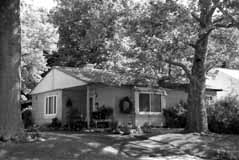
 In a previous post, I mentioned that Engine House 19 won the Dispatch’s annual holiday decorating content. This house at on East North Broadway won the contest three years in a row. (Photo coourtesy of Judy Kress)