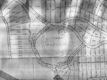
Indianola Business Corridor
Thursday, September 18th, 2008Joe Motil has shared the following memories of Clintonville with us:
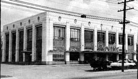
I haven’t noticed any historical information on the Indianola Business Corridor so I thought I would give you my recollections of what I remember. Located at the south east corner of Oakland Park & Indianola was a Sinclair gas station. The family which operated it lived just east of the Wonder Bread store and their last name was Cotter. South of the gas station was Broady’s Drug Store (I am not sure if the spelling is correct). I believe Mr. Broady lived on East North Broadway between Indianola and the railroad tracks. It was pretty much your typical drug store during the 50’s and 60’s. There was a soda fountain, pharmacy, comic books, etc. As kids we would scour the bushes and roadways for pop bottles and cash in on deposit money and buy candy and pop from the drug store. There was also a phone booth nearby that had a missing coin box cover that you could jingle your finger inside of to get the coins to come out of. Hey, we were just kids. We would then head to the comic book section of the store, grab something to read, sit on the floor and eat our candy and drink our pop. Mr. Broady never had a problem with this. I believe there was also a dry cleaning store named Nash Cleaners that was south of the drug store. I know there was another store in that strip but I can’t remember the name. Where the Burger King now stands was the Beverly (hamburger restaurant Big Boy). These were somewhat popular in Columbus during this time.
Across from the Sinclair gas station at the south west corner was a Shell gas station. It later became a little Greek restaurant. I am sure you have heard of the lumber yard that was located at the north east corner of Oakland Park and the railroad tracks. We used to take our red wagons there and load them up with scrap lumber that was placed in a big bin and use the wood to make tree forts. A Lawson’s convenience store was located next to the current United Dairy Farmers. My father used to buy milk and bread there on occasion especially when the bread was on sale for a dime a loaf. And I am pretty certain that there was a gas station on every corner of the intersection of Oakland Park and Indianola around the late or middle 60’s. And the A & P grocery store was just east of the India Oak (car wash).
Joe Motil
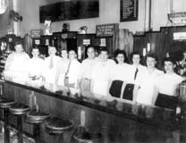
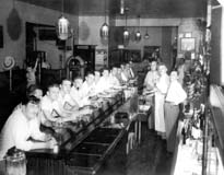
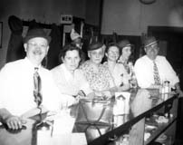


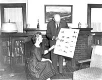
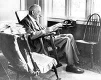
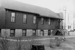 During the 1900s, the history of Clintonville churches is always a story of growth and overcrowding. Here are some pictures of the Clinton Heights Lutheran Church. The original church, a white frame mission chapel shown in my book, was build around 1922.
 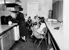 Their Sunday School grew quickly, and by the late 1940s classes were held in adjacent houses and in the church kitchen (shown). Members voted to start a sister congregation on Morse Road (North Community Lutheran Church) to serve the burgeoning population in that area. A new church on Clinton Heights was dedicated in 1951 to serve the legacy members’ needs.
 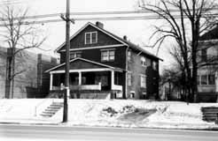 In 1971, the double house located to the south of the church was razed and the parking lot developed. In the 1990s an additional house to the east was torn down to supplement their parking. (Photos courtesy of Clinton Heights Lutheran Church)
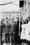 This photo shows the Catechism class on 1941, left to right: Gordon Brevoort, Fred Gardner, James Hagely, Rev. Harold Moench, Norma Montague, Helen Marshall, and Patty Allard. (Photo courtesy of Gordon Brevoort)