Baseball at the Zoo
Thursday, December 26th, 2013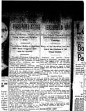 The zoo in Beechwold may have been one of the earliest sites of the Columbus Clippers!
According to Joe Santry, Historian at The Columbus Clippers, “In 1895 the Columbus Statesmen opened the season playing at The Zoo Baseball Grounds. The grounds were owned by the Zoological Garden company. Could this be the old zoo grounds in Clintonville? …The team played at the Zoo Grounds for a couple of months before moving to Recreation Park in German Village…
“In 1895, according to the local papers, Columbus played at ‘the Zoo Grounds’ (May 21), ‘Zoo Baseball Park’ (May 4), ‘Zoo Park’ (May 5). There are stories about temporary grandstands, then a ‘new grandstand’ (May 12).
“By June 1, however, the OSJ reports that the club now ‘holds the lease on the Schiller street grounds’ and the club ‘will play the last game on the Zoo grounds this afternoon and the work of removing the grandstand, bleachers, and fences to Recreation Park’ will follow.
“The problem is how inconsistently the papers reported the games that season. The more I research this the more I think the Zoo Grounds park was in or near some type of amphitheatre on the zoo grounds. The park had other smaller attractions prior to 1905.”
Scott Caputo, librarian at the Columbus Metropolitan Library, found this article in the 8-8-1904 Ohio State Journal. It mentions a drill field and a ball game used by several masonic groups at the Zoo. This, shortly before it closed down.
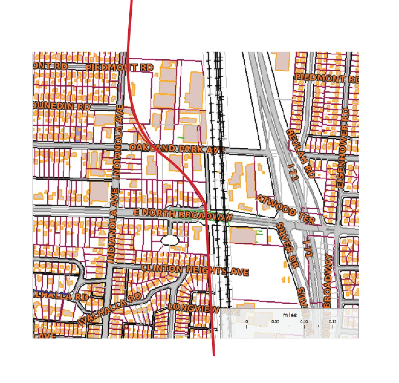
Also linked here is a image/map of the old zoo, courtesy of Mary Rodgers of the Clintonville Historical Society.
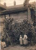
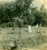
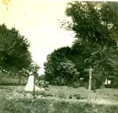
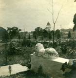
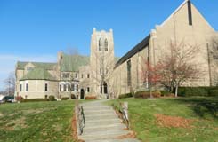
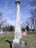 Balser Hess, a cordwainer, tanner and Revolutionary War veteran, was one of the first pioneers to arrive in Clinton Township. Hess came to Ohio with his family and bought 320 acres of land along the west bank of the Olentangy River. His first house, a log structure, was a common stopping place with travelers. Balser died in 1806 and was the first to be buried on the grounds that became Union Cemetery. (Photo courtesy of Terry Miller.)
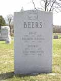 David Beers was another early pioneer with an exciting life story of having been captured and released by the Native Americans. Beers came to Ohio in 1802. Descendents of David Beers still live in the area to the present day. (Photo courtesy of Terry Miller)
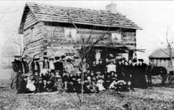 Beers had a log house near the intersection of Dodridge and North High Street. The cabin still exists but has been moved to Norwich Avenue. This photo appeared in the December 29, 1904 Dispatch, on the house’s centennial. The people included friends, relatives, and associates of the cabin’s next owner, Conn Baker, and they were reminiscing with him about early Columbus and marking the 100th anniversary of the cabin after the its move and reassembly to E. Norwich.
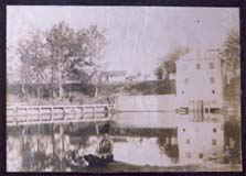
 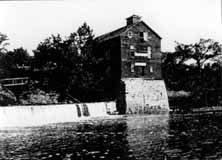 The Beers family operated a mill which existed until the early twentieth century. For many years the father of the well-known poet John James Piatt operated it. The future poet spent his boyhood days playing about the mill, and some say that the impressions made by its surroundings found expression in his work. The mill was considered to be one of the most picturesque spots in Ohio. Built around 1810, the mill burned in 1902.
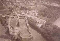
 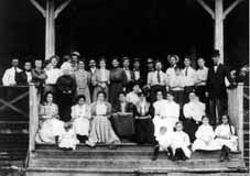 The reason for this gathering is unknown, but it includes several Beers descendants (and likely many who are not related) and was taken about 1905, probably at Olentangy Park. (Photos courtesy of Marty Cottrill)