Home
Beverlee Drive-in

Many North High grads recall the Isaly’s ice cream plant that was located at 2800 North High Street until the early 1950s. In 1956 the building served as corporate headquarters for Beverlee Drive In but was torn down by the Schottenstein Company around 1966 to make way for a strip mall. This is an advertising picture when the building was occupied by Beverlee.
Drexel Theater
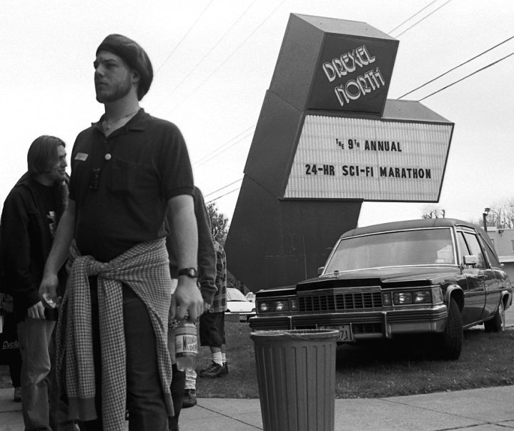 Mark Fontana is a former manager of the Beechwold Drexel North Theater, and he has started a Facebook page devoted to preserving the history of this theater. Also known as Beechwold Theater or Camelot North, it was located at 4250 North High Street and the building currently hosts the Columbus Sports Connection. When the building was a theater, it also served as temporary worship space for several churches in the area while the churches were being enlarged or rebuilt. Check out Mark’s web site!
A.B. Graham (1868–1960)


A. B. Graham (Albert Belmont Graham) was an educator from Springfield OH. He had an idea: to get young people together to learn about agriculture and develop skills for farm living. He formed an organization to enable such practical learning. He originally called it the Boys and Girls Experimental Club, and then, the Boys and Girls Agricultural Club. By 1905 there were over 2,000 young people in sixteen Ohio counties participating in Agricultural Clubs. Graham was named Superintendent of Extension of the Ohio Cooperative Extension Service and the clubs were expanded nationwide. In 1916 the Boys and Girls Clubs officially became the 4-H Clubs.
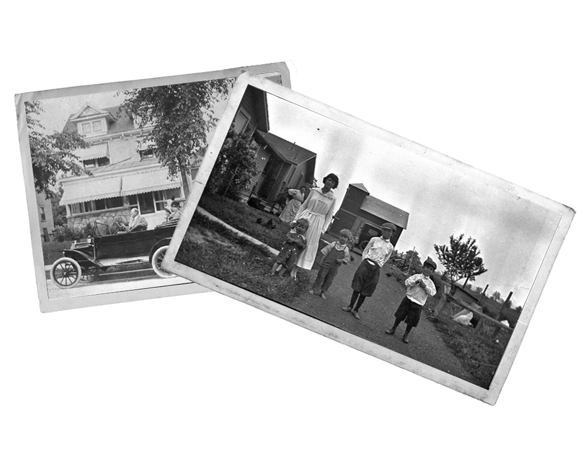
 A.B. Graham eventually worked for the USDA in Washington DC. After his retirement in 1938 he moved back to Columbus. He lived in his home on Clinton Heights Avenue until his death at the age of 91 in January 14, 1960. These photos show him at his Clintonville home. Happily, today I live in that very same house.
What do the 4 H’s stand for? Well, originally, there were only 3 H’s and the insignia was a 3-leafed clover. The H’s stood for head, hearts, hands. Then a 4th H was added and the organization’s clover became 4-leafed. That last H stood for hustle. But “hustle” didn’t stand up to the test of time and was eventually replaced by a tamer “H,” that is, health.
(Photos courtesy of OSU Photo Archives, Drawer #213.)
Clinton Heights Lutheran Church
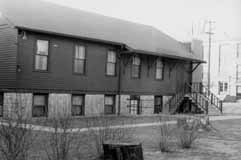 During the 1900s, the history of Clintonville churches is always a story of growth and overcrowding. Here are some pictures of the Clinton Heights Lutheran Church. The original church, a white frame mission chapel shown in my book, was build around 1922.
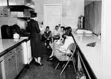 Their Sunday School grew quickly, and by the late 1940s classes were held in adjacent houses and in the church kitchen (shown). Members voted to start a sister congregation on Morse Road (North Community Lutheran Church) to serve the burgeoning population in that area. A new church on Clinton Heights was dedicated in 1951 to serve the legacy members’ needs.
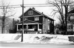 In 1971, the double house located to the south of the church was razed and the parking lot developed. In the 1990s an additional house to the east was torn down to supplement their parking. (Photos courtesy of Clinton Heights Lutheran Church)
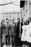 This photo shows the Catechism class on 1941, left to right: Gordon Brevoort, Fred Gardner, James Hagely, Rev. Harold Moench, Norma Montague, Helen Marshall, and Patty Allard. (Photo courtesy of Gordon Brevoort)
Adena Earthwork
 It breaks my heart to learn about the Overbrook Ravine Earthwork (an Indian Mound) located at the southeast corner of Yaronia and Wynding Drive. The earthwork consisted of two earthen mounds surrounded by a 400-foot diameter circular earthen embankment, built over 2500 years ago. Though the city and developers were glad to build a park around the mounds, residents worried about traffic such a park would draw. In 1953 the mound was destroyed to make way for housing construction. (Map courtesy of Franklin County Engineers)
Park of Roses
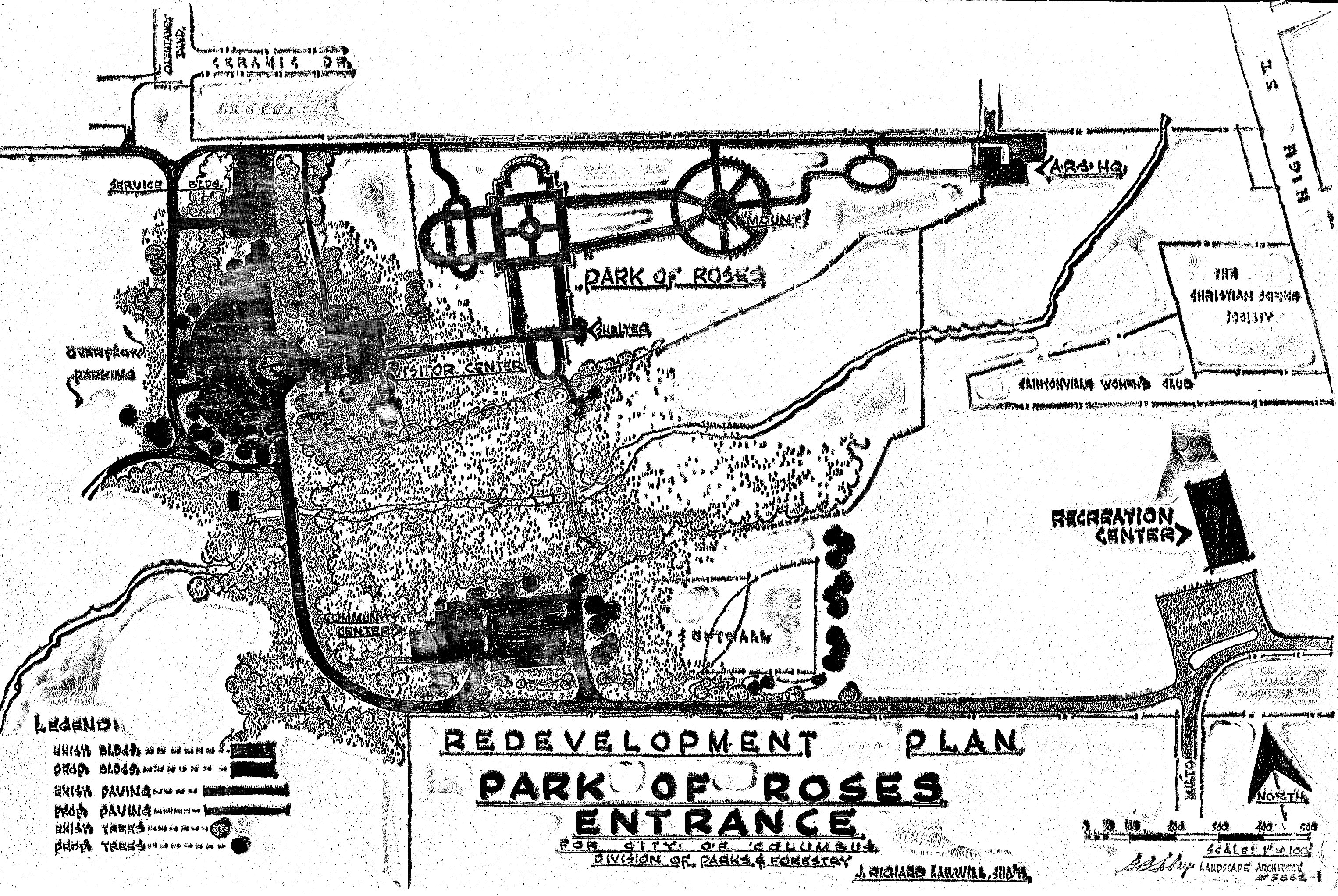 Members of the Columbus Rose Club & The Central Ohio Rose Society had long dreamed about a municipal rose garden for Columbus. Late in 1951 a committee was formed, consisting of members from both rose clubs, meeting several times with Mayor James A. Rhodes. The result being on April 19, 1952 Columbus City Council passed an ordinance and issued bonds for the Park of Roses. At the same time the Mayor created an advisory council known as the Columbus Rose Commission, administered by the Columbus Recreation & Parks Department, whose duties were to plan and execute a rose garden to be located in Whetstone Park. George B. Tobey, landscape architect, joined the efforts for park design and development. (Photo courtesy of the Clintonville Historical Society)
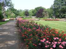 Construction began June 1952. Minimal grading was necessary as the gentle slope of the meadow was ideal for drainage and air circulation. The entire area of 13 acres had sandy loam topsoil to a depth of 11-15 inches, which was indeed fortunate. All beds were excavated to a depth of 24 inches. The existing soil was removed and mixed with imported peat moss and commercial fertilizer. The materials were mixed four times before returning to the beds. The beds were allowed to settle before any planting was begun. (Photo courtesy of Terry Miller)