Glen Echo Bridge
Friday, September 26th, 2008Three lovely views of Glen Echo bridge near North High School, were taken in the later 1920s or early 1930s. [From North High Memory books.]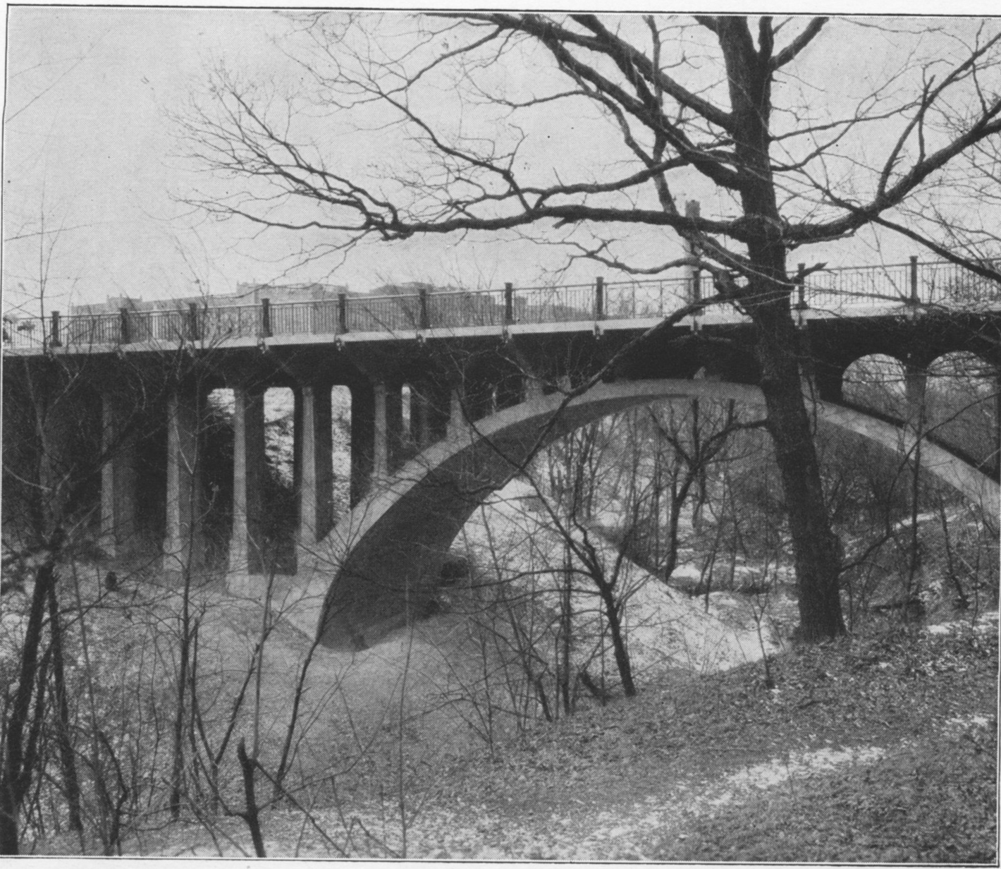
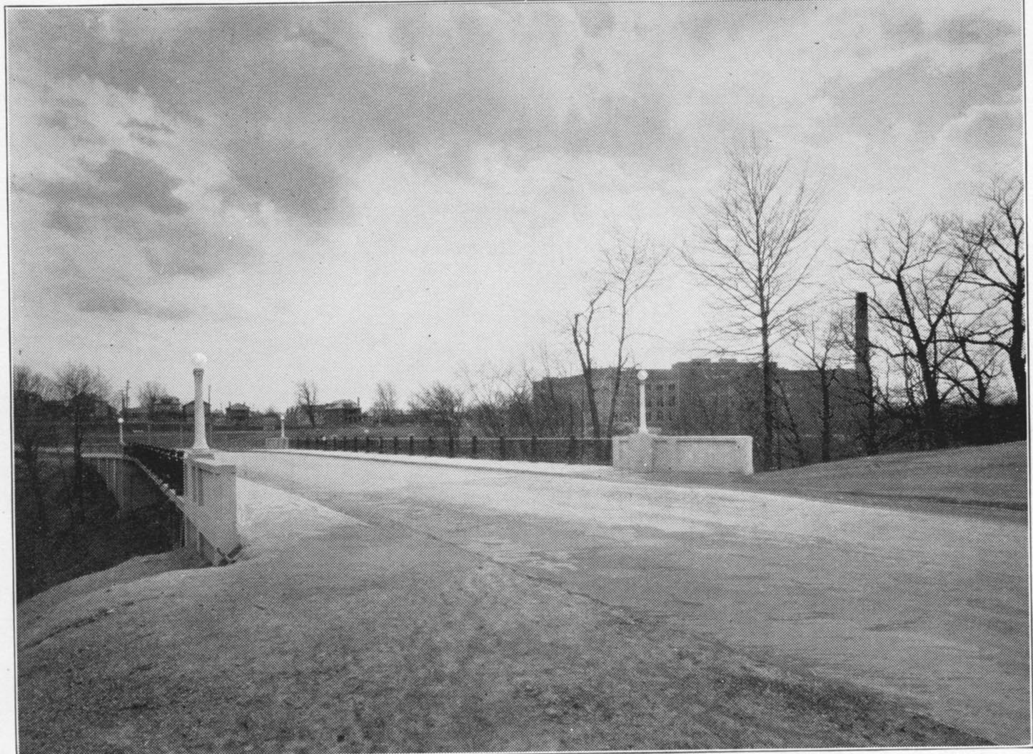
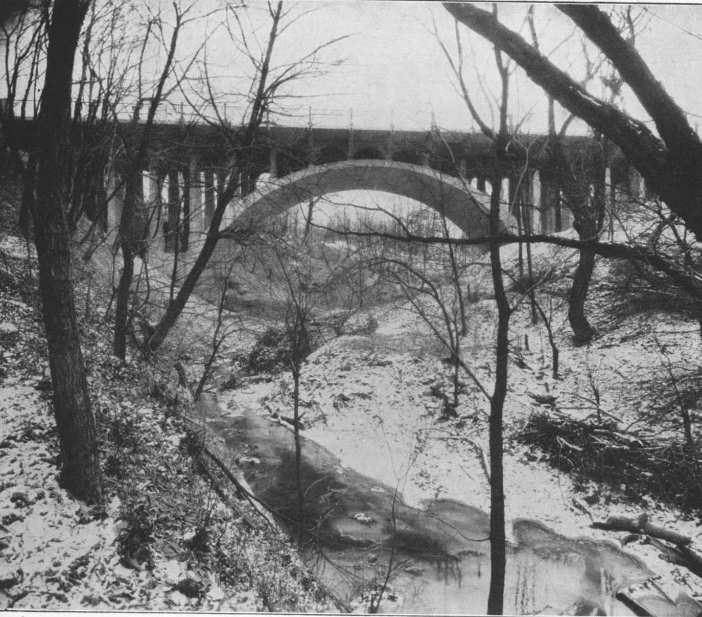
Three lovely views of Glen Echo bridge near North High School, were taken in the later 1920s or early 1930s. [From North High Memory books.]
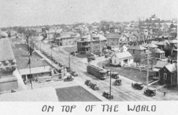 I previously stated that I was unsure where this photos was taken. A reader named James wrote in that it’s “the view from atop the school, facing South East. You can see the edge of the football field along the fence line in the middle left of the pic. The white house in the middle right is still there, at the corner of Adams and Arcadia. That large apt building on the other corner is still there, too.” Thanks, James! The photo was in one of the North High School Memory Books (their yearbook). [From a North High School Memory Book]
Robert Ohaver (b. 1920) lived most of his life in Clintonville and on West North Broadway. He had many stories of old Clintonville to share with us. On September 12, 2003, several community members (Ann and Alan Woods, Barbara Hotchkiss, Nancy Kuhel) interviewed him and preserved the conversation on tape. Now you, too, can listen to Mr. Ohaver’s oral history.
Sadly, Bob Ohaver passed away on June 11, 2009. You can find his obituary here. There is another small entry about his aunt on this web site here.
Bob mother was Laura Ohaver and his father was Walter Harvey Ohaver. Bob also had an older brother named Jack Ohaver who lived in Clintonville at 116 E. Dunedin with his wife Clara Ohaver. Clara passed away May 24, 1993, and Jack passed away on June 14, 2000. Jack and Clara had two daughters. Sue Bowman was born May 8, 1940; she passed away January 4, 2000. Sandra Urban born July 30, 1945. [This family information came to me from Jack’s granddaughter and Sandy’s daughter, Lisa Adkins. Thanks, Lisa!]
Each file is about 30 minutes long.
Contents
Track 1.
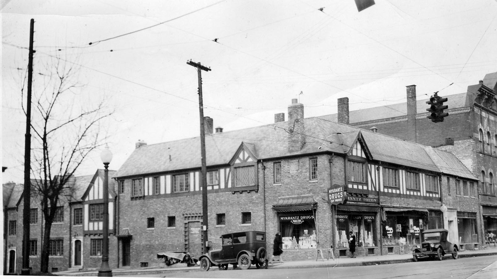
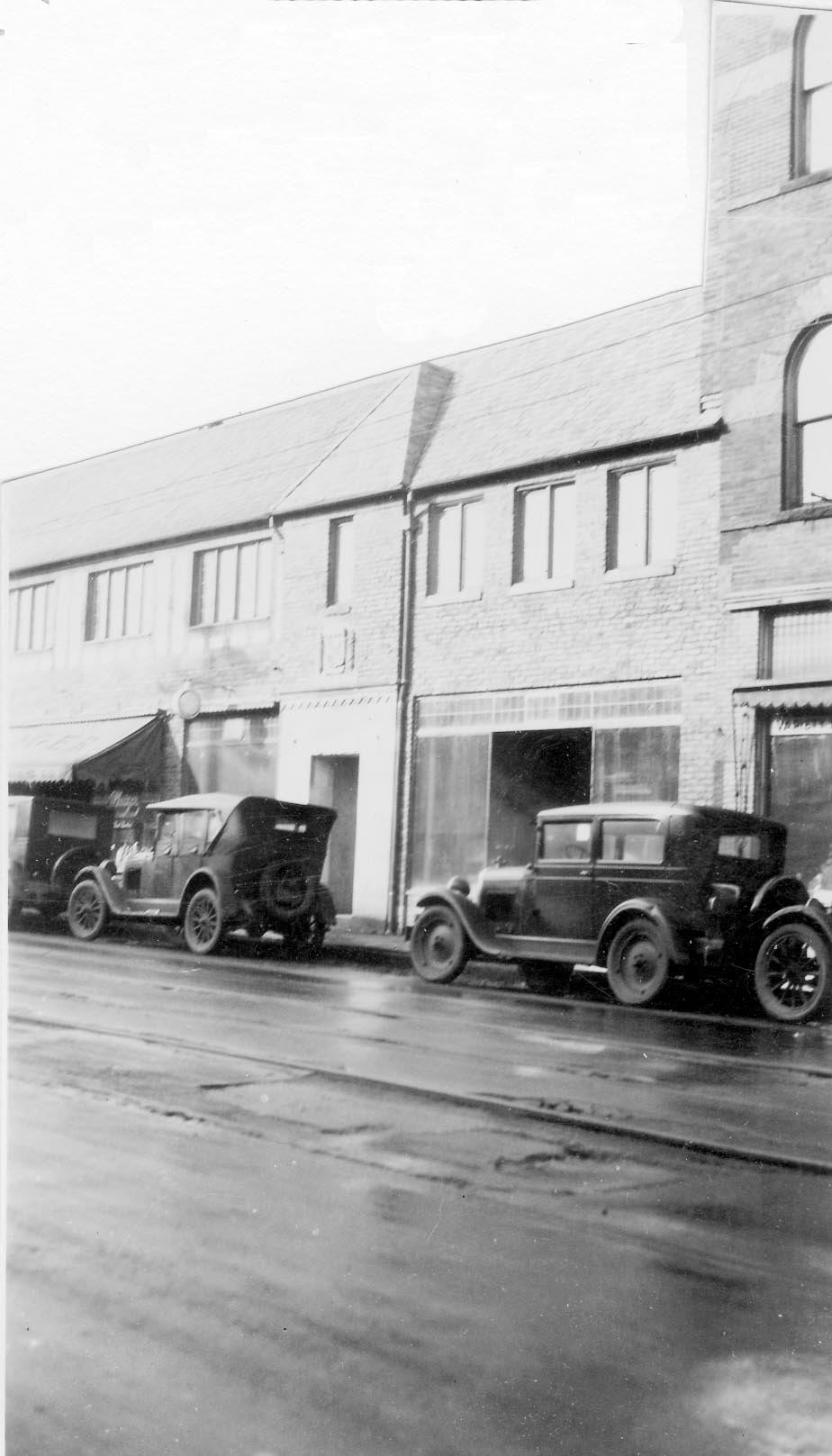
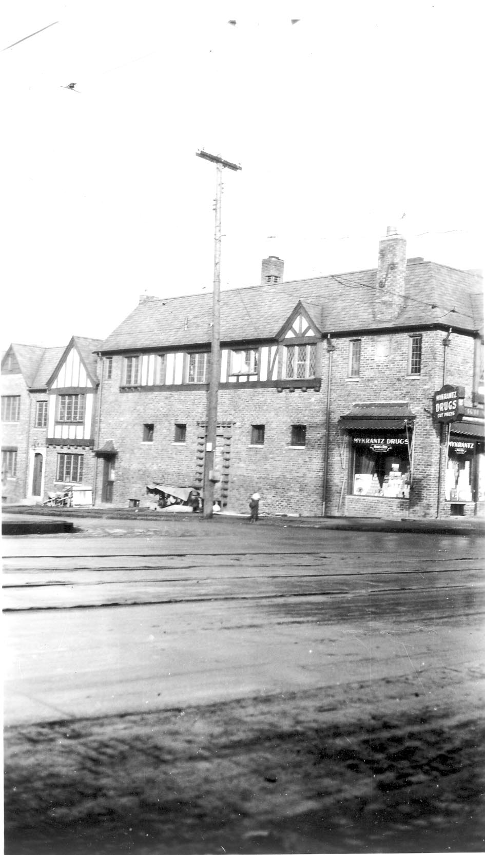
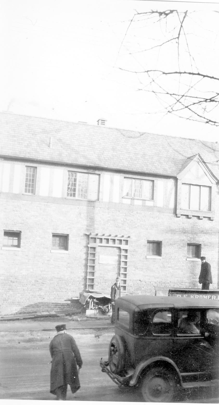
Brief Ohaver biography; origins of his family moving to West North Broadway; his World War II years; Clinton Theatre; businesses and homes at the interesection of North Broadway and North High Streets; drugstores and candy stores in Clintonville; the house behind 3391 North High Street; Dispatch carrier’s substation; Olentangy Park; the streetcar storage barn at Arcadia.
Track 2.
Olentangy Park cont’d; street fair at North Broadway and High to celebrate Clinton Theatre, the opening of Clinton School pedestrain subway, and the paving of North High Street after a new sewer line had been installed; the Olentangy River; 3 canoe clubs; development of West North Broadway (“the Broadway Extension”) and the Scott farm; development of the area along the adjoining river bank; the Herron [spelling uncertain]/Zinn home at 285 West Kenworth; Bill Moose AKA “Indian Bill”; Chief Leatherlips.
Note: the “Dr. John Scott” is William H. Scott, president of OSU 1883-1895. See my book, page 17, for a photo of his house.
Track 3.
Chief Leatherlips cont’d; house at 273 Erie Road and excavation of nearby gravel pit; the Fuller farm/Whetstone Park; rambling through the woods; Indian Springs golf course; Bill Moose AKA “Indian Bill”; Olentangy Park; North Columbus including the Ramlow Building; Picadilly Theatre; streetcars and interurbans.
Track 4.
Southwick funeral home; Joy Hunt home; Graceland Shopper’s Mart and Patrick Murnan; Clinton Theatre; the Great Depression; Ohaver family; Brighton Road development; Ohaver’s WWII and postwar years.
Track 5.
Ohaver’s return to Columbus from California in 1962; bombing of the Clinton Theatre in the 1930s.
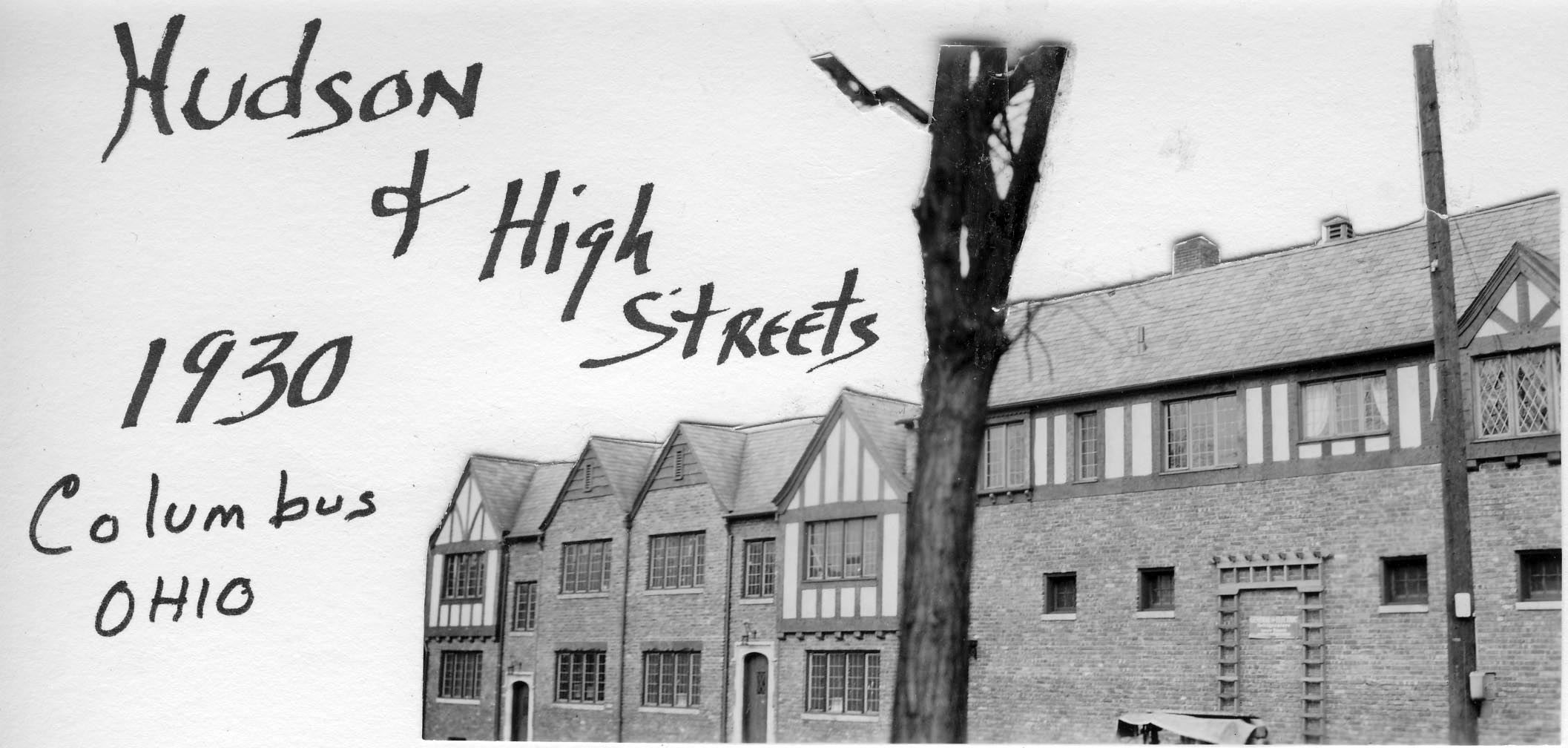
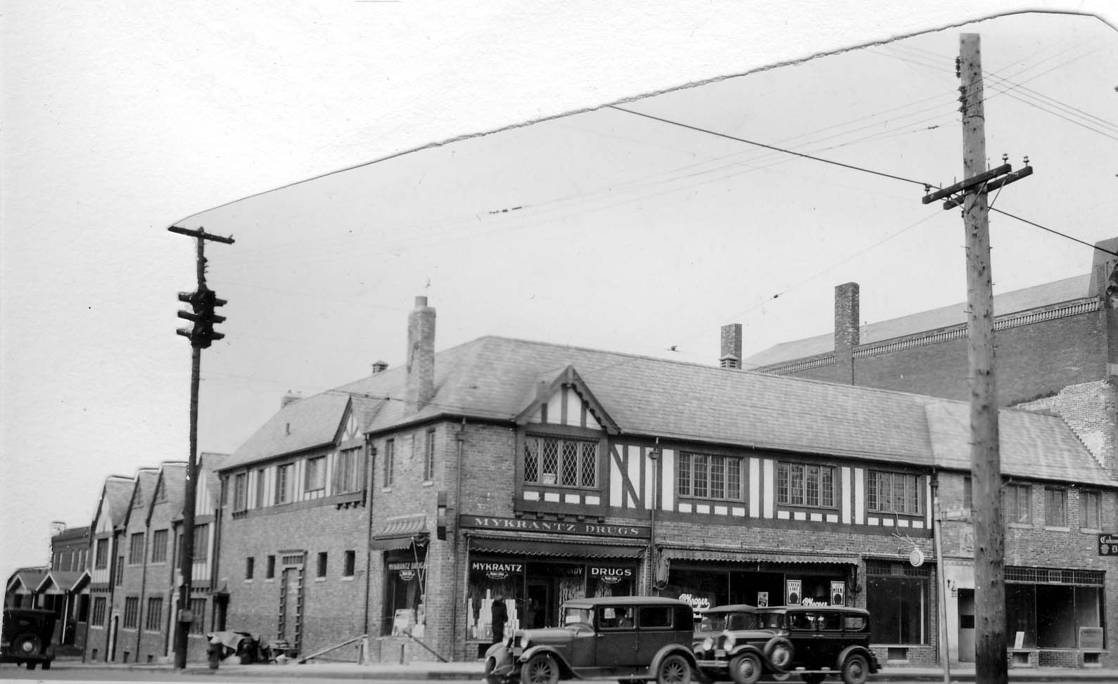
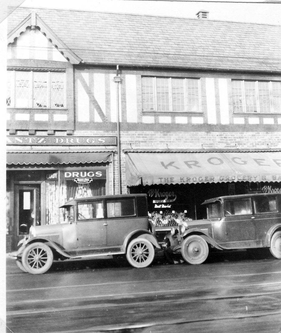
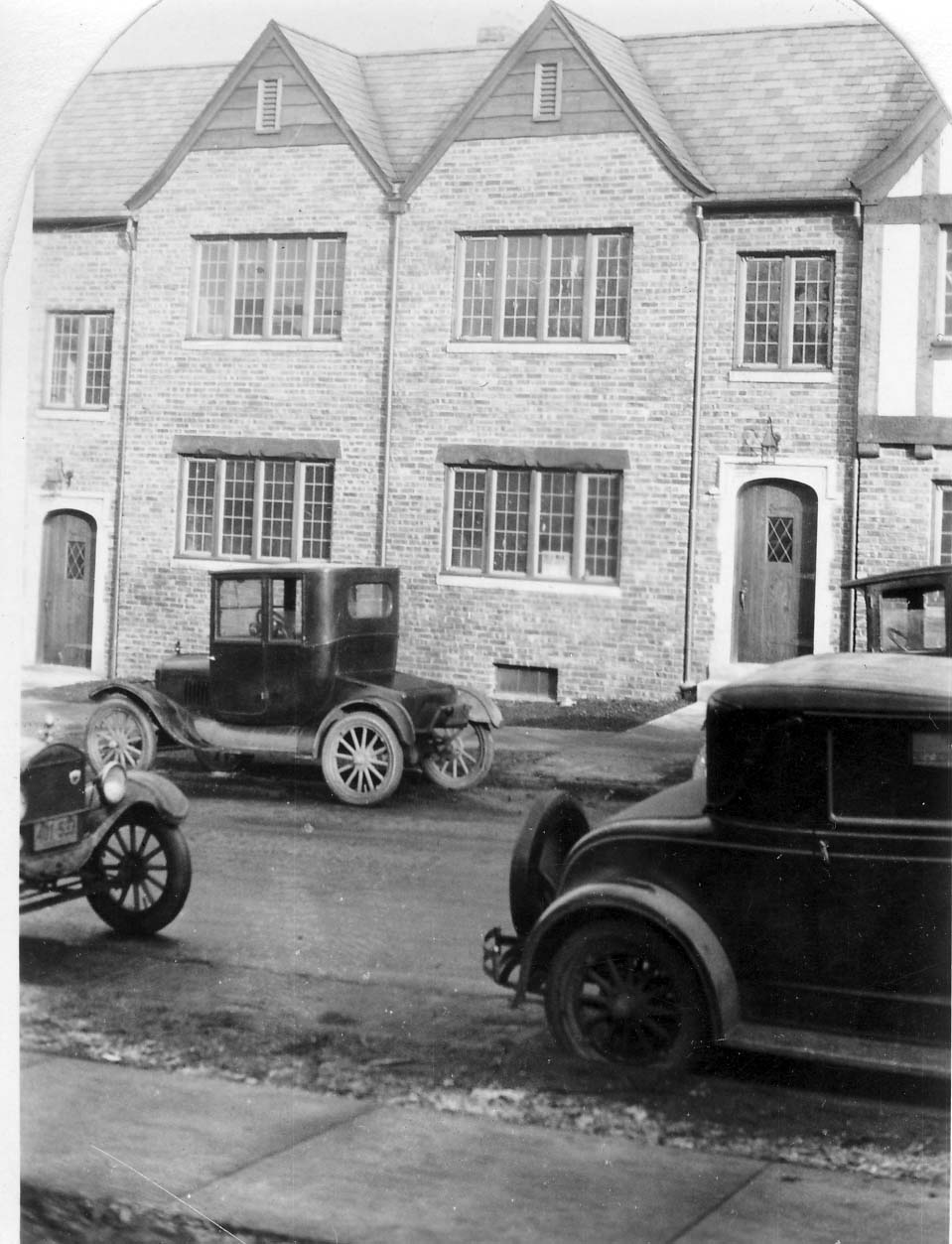
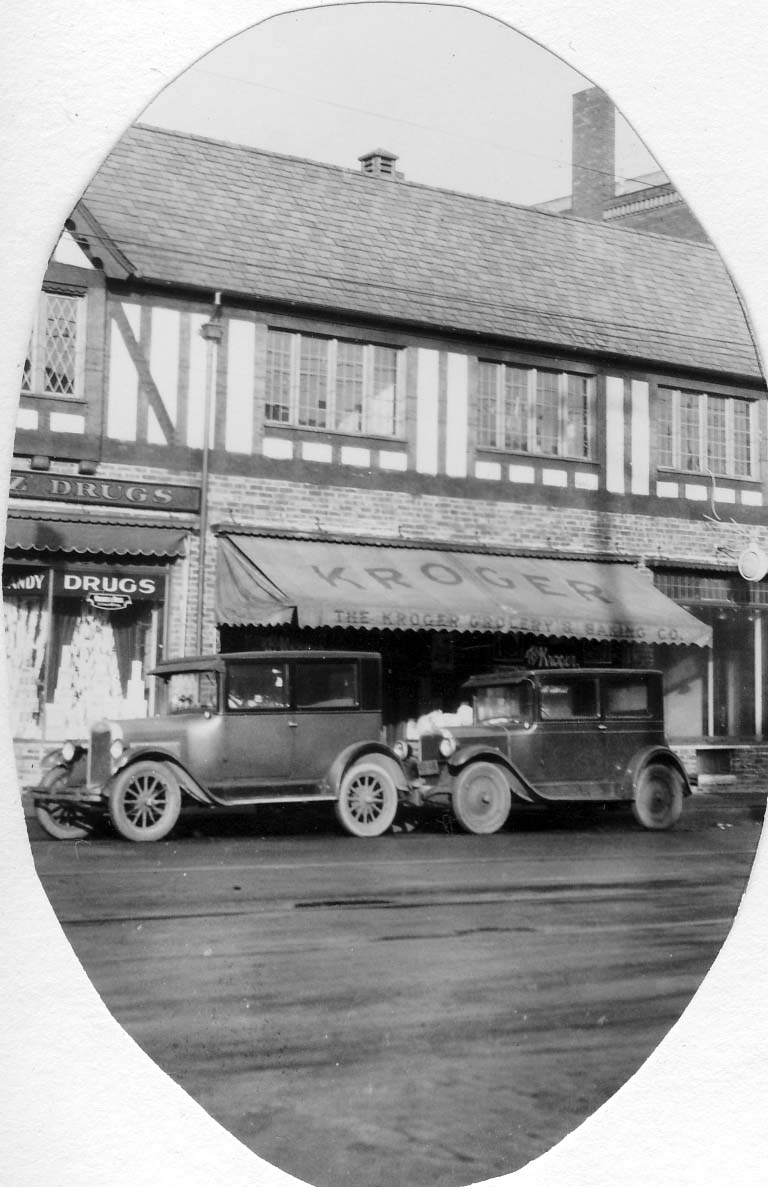
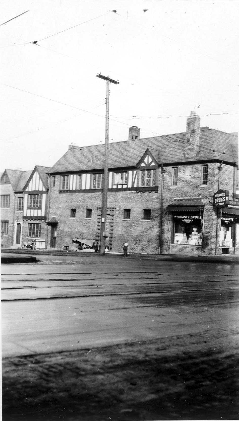
Some lovely pictures of the northwest corner of Hudson and North High, in 1930. This corner looks about the same today! (Photos courtesy of Frank Jones.)
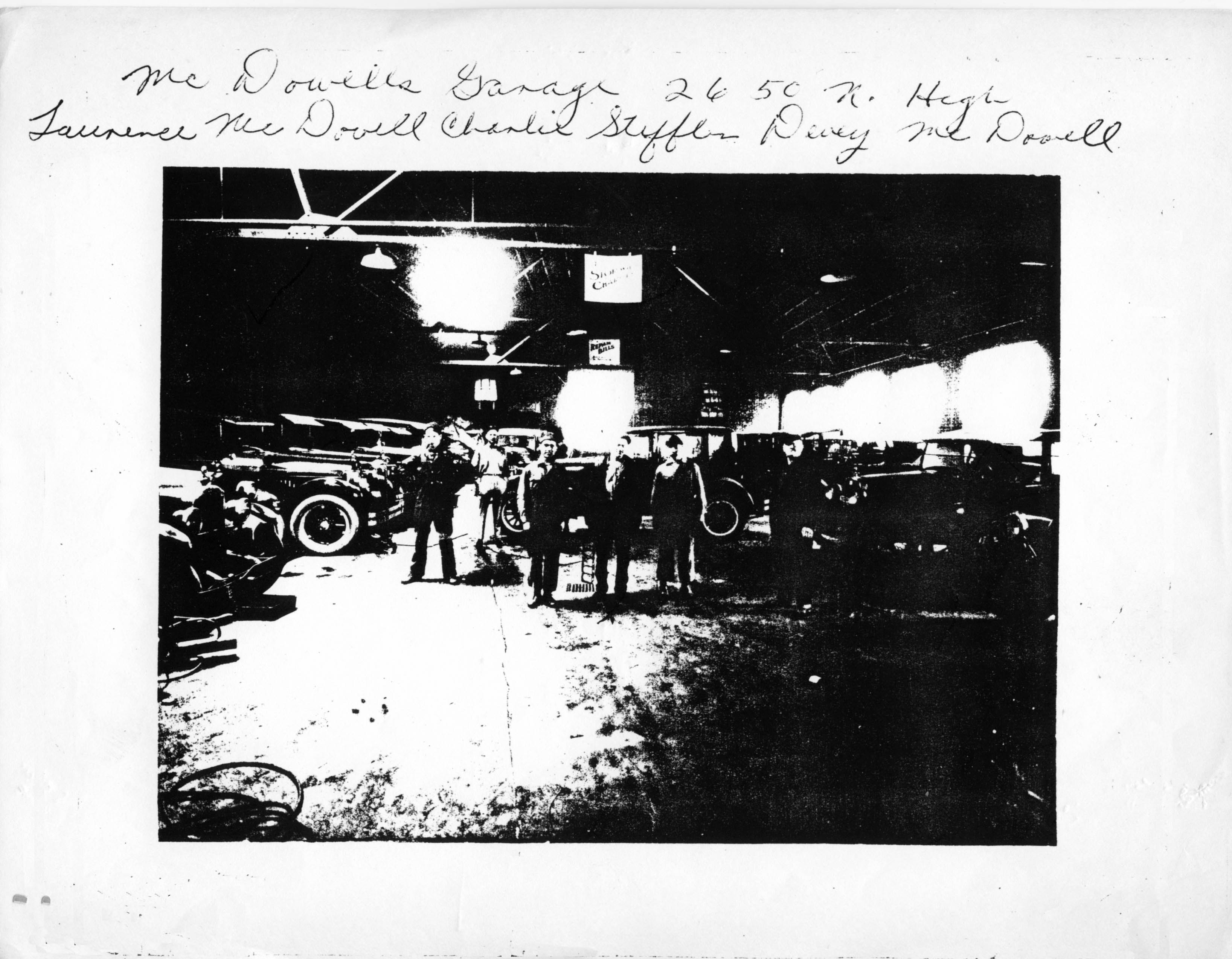 McDowell’s Garage at 2650 North High Street. (Photocopy courtesy of Frank Jones.)
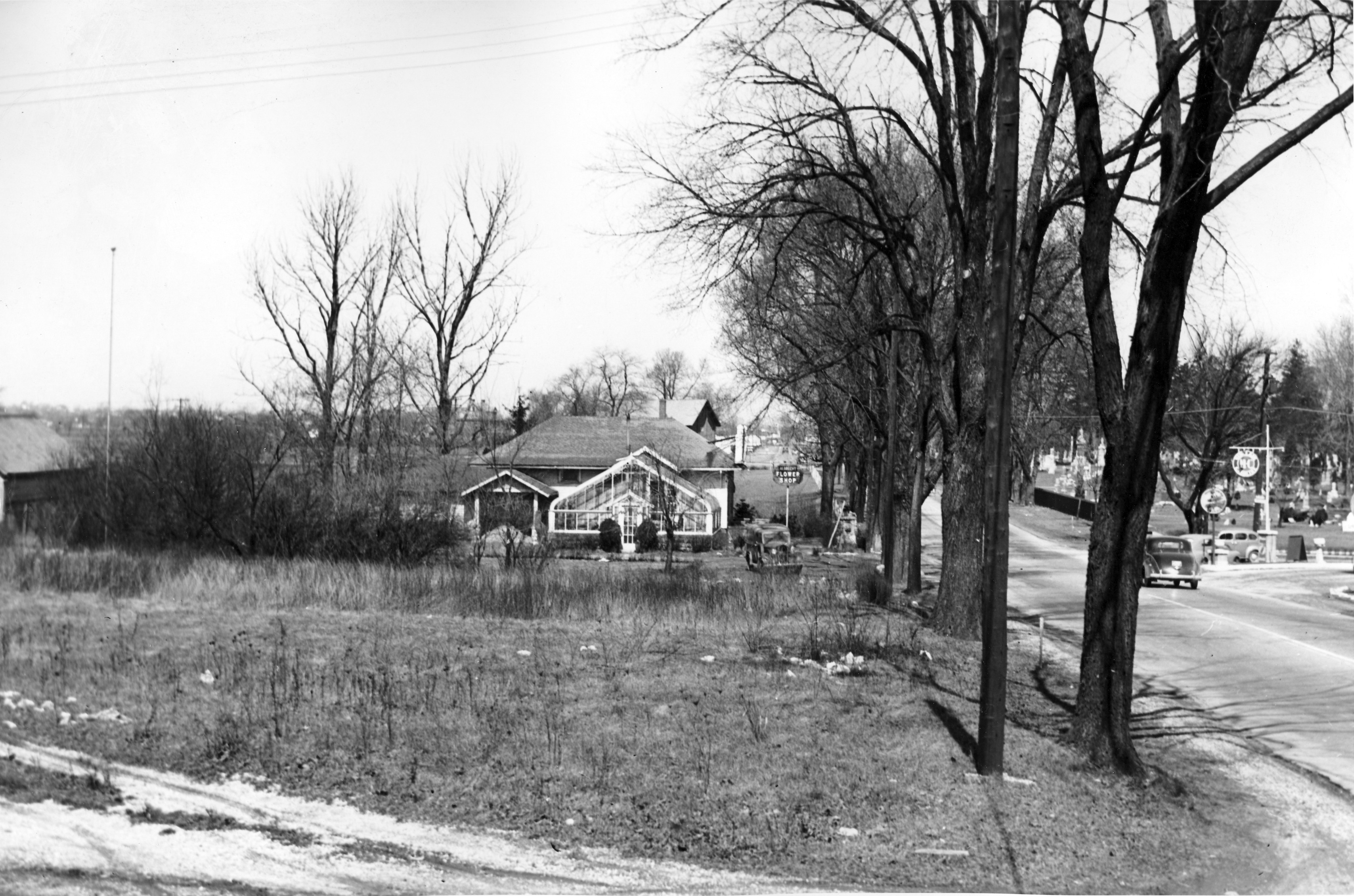 A view of Union Cemetery from Olentangy River Road, in the late 1930s. (Photo courtesy of the Franklin County Engineers)
 This photo was probably taken along Olentangy River Road. Note the smudge pots, which were used before the advent of electrical blinking warning signs. I assume this picture was taken around 1953. (Photo courtesy of Franklin County Engineers)
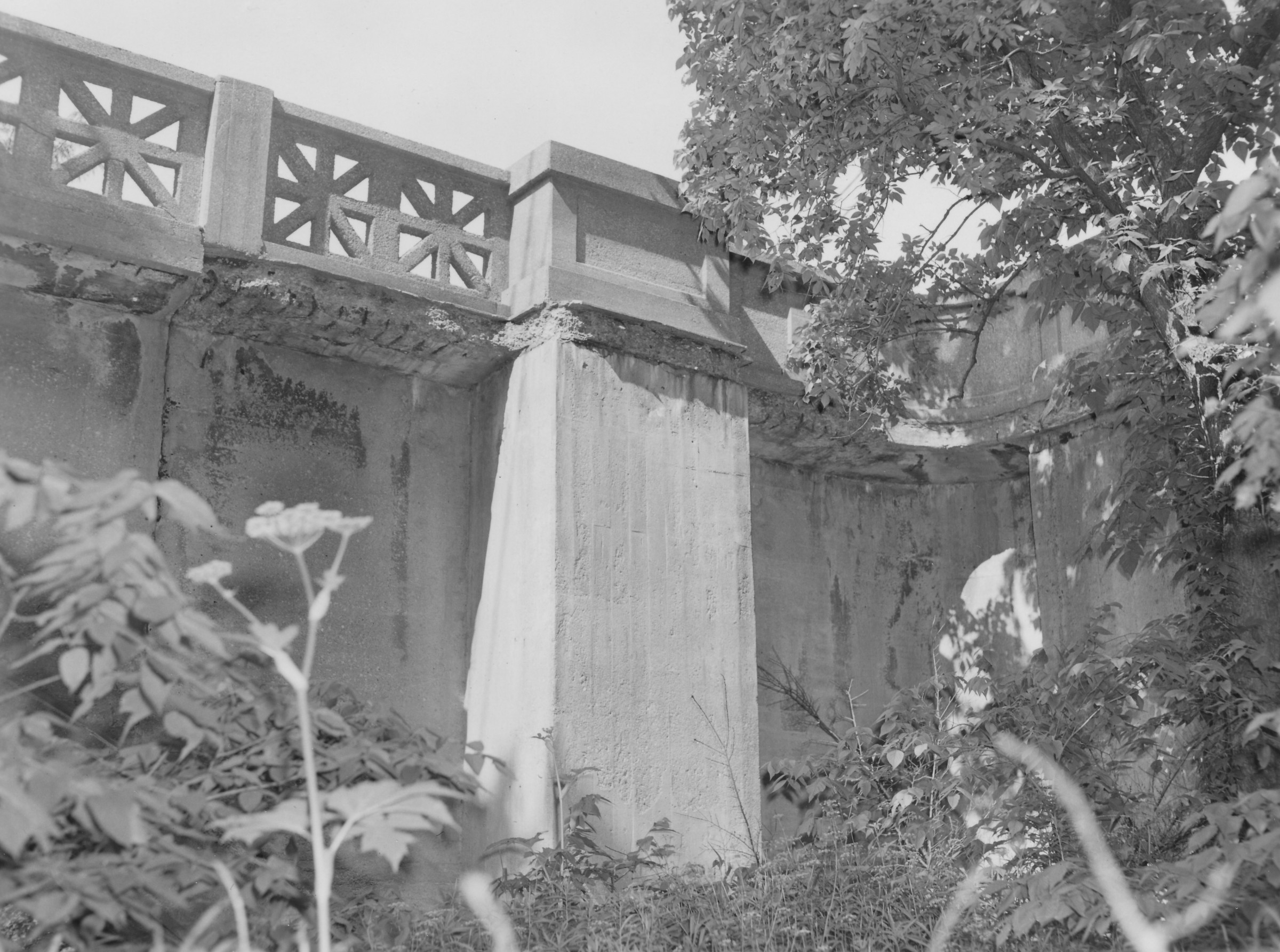
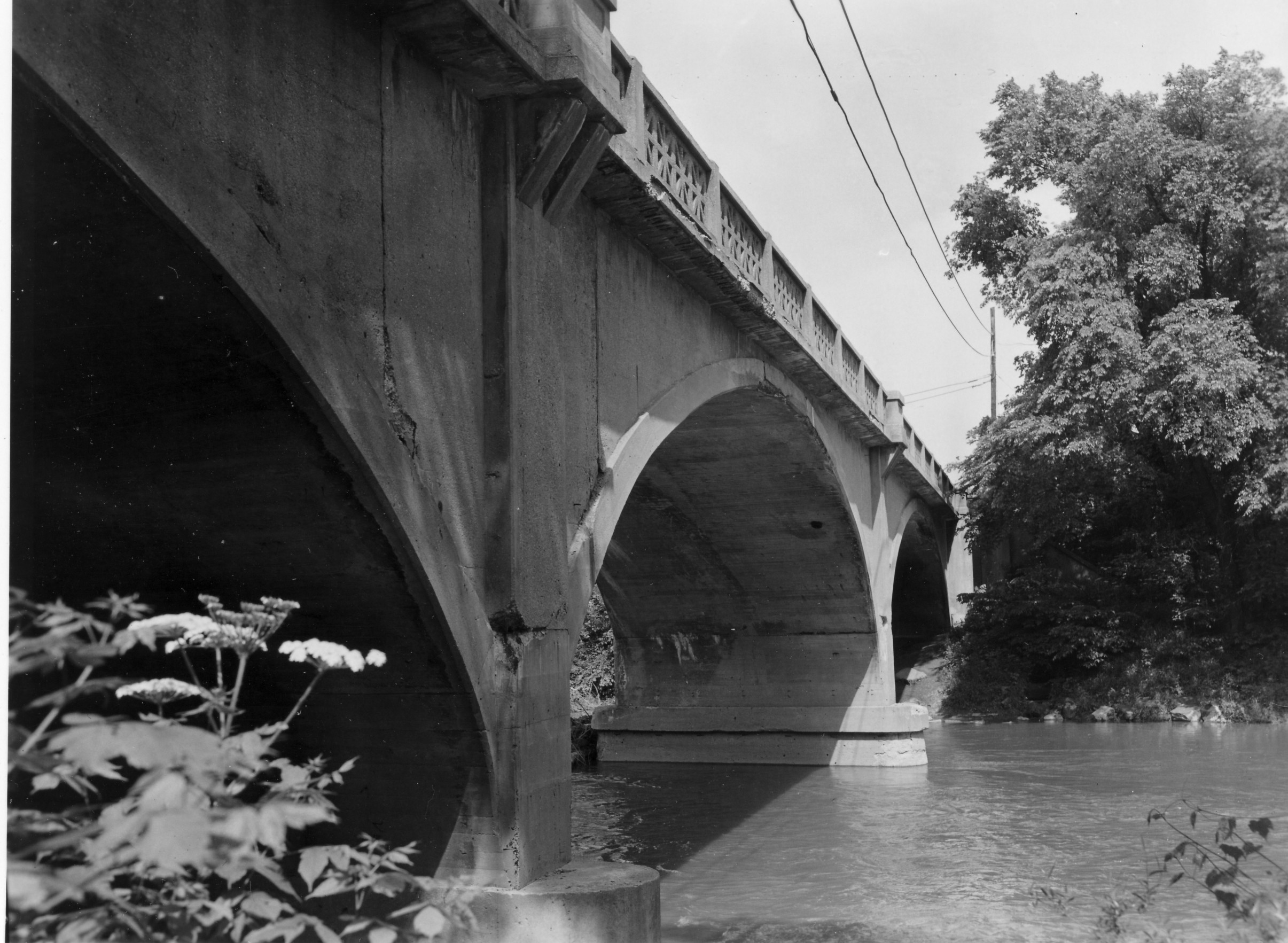 The Henderson Bridge was first known as Whip’s Bridge, then Weisheimer Bridge. The present bridge was built circa 1976.
(Photos courtesy of Franklin County Engineers)
Please note: this post was revised on 2021-10-17 to add the 2nd image and to provide larger images when clicking through the thumbnails.
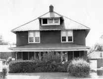 The Kirkpatrick Insurance Company began in 1855 in Adams County, Ohio, moved to downtown Columbus in 1920, and moved to Clintonville in 1954. They remodeled this brick duplex residence at 3215 High Street. In 1973 they demolished the duplex to the north, and expanded the first building. Eventually the name was changed to reflect ownership by Zeke Palmer, his son Daniel, Steven Miller, and Ronald Nelson. It’s one of the oldest independent insurance agencies in Ohio. (Photo courtesy of Palmer Miller Nelson Insurance Company)


For the residents of East North Broadway, widening their roadway has been a seemingly endless struggle of defending their property against City Hall. Joyce Schatz–for many years an officer in the East North Broadway Street Association–has kept an archive of the issue, and I’ve linked to it here.
The city claims the right of way is 100 feet. Some research shows that it is 70 feet. Residents’ deeds and surveys are all over the place. Some have 15’ listed, many don’t, including recent purchasers. The majority of the parcels at the end of the street do not have the 15’ easement in their deeds. The deed to Steve and Ann Wilson’s home (one of the three slated to lose their yard), specifically includes the footage and states “…Together with the Fifteen (15) feet off the North Side of East North Broadway vacated by resolution of the County Commissioners of Franklin County, Ohio, on October 7, 1952.”
For those of us who don’t live on East North Broadway, the issue is less “Can the City do it?” but “Should the City do it?’ For the time being, the city is not actively pursuing the widening.
You are currently browsing the archives for the Transportation category.