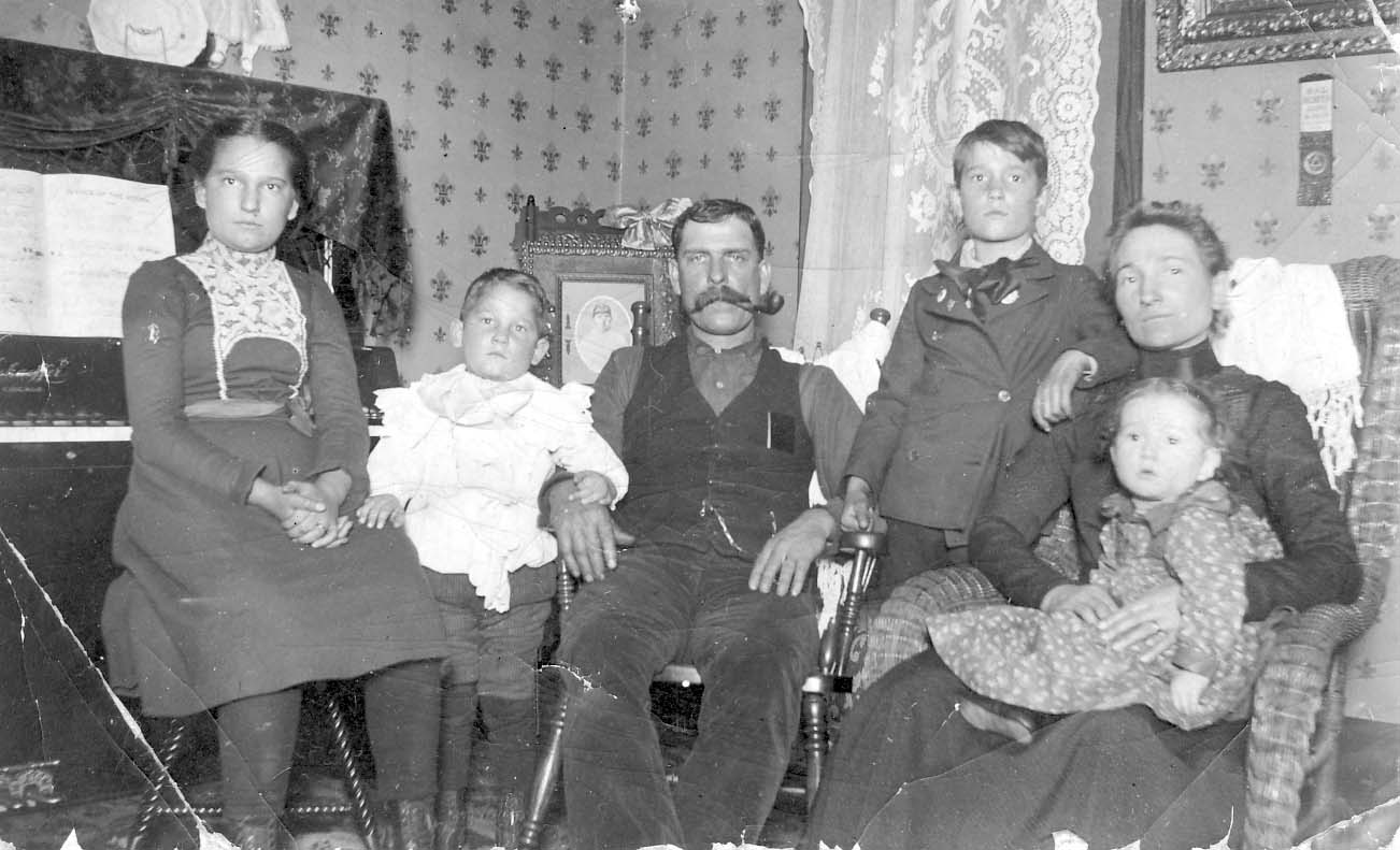
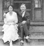
Wondering who these people are?
The people at the top of my banner, I mean. Well, I am wondering too. I believe this is the Hollenback family (the family that started The Booster, and who lived on High Street) but I have been unable to confirm who the pictures are of, or where the photos were taken.


 Pearl Fisher lived at 129 West Pacemont for nearly 70 years until her death in 1970 at age 82. [The house has since been torn down.] She moved there as a young girl, when Pacemont (then called Jason Avenue), was a gravel road with houses far apart and the mailman traveled his route in a buggy. There was a spring on the West Pacemont farm which her parents, Mr. and Mrs. Joseph Fisher, owned. They sold this spring water in bottles to residents all over Clintonville, delivering it by horse-drawn wagon. They stored the bottles in a little shed attached to the house. –from The Booster, January 4, 1978.