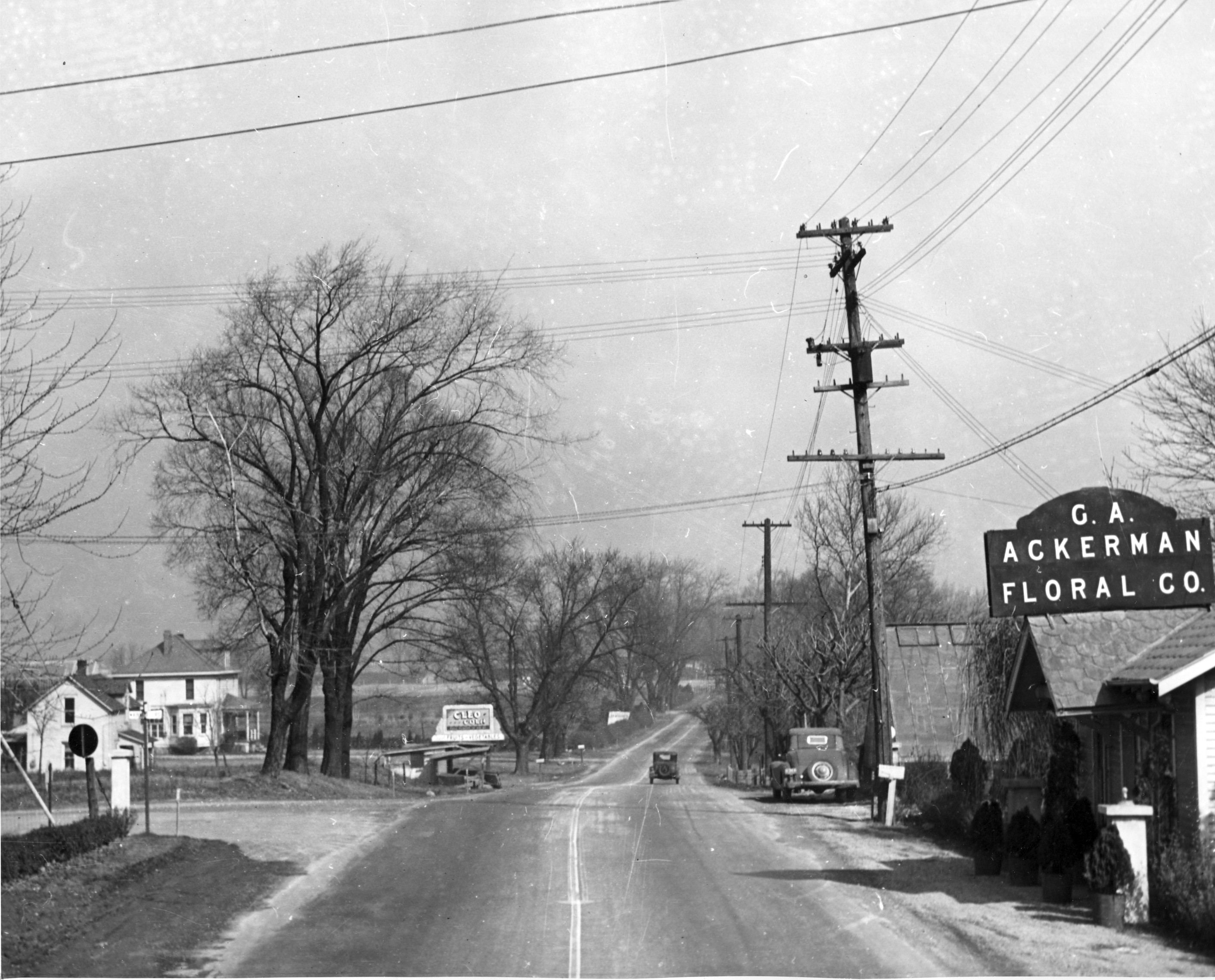
Fuller Farm & Whetstone Park
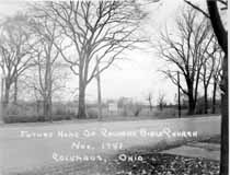 E.A. Fuller was a prominent Clinton Township horse trader at the turn of the century. I found the Clinton Township records for the late 1800s and early 1900s, and his name was frequently mentioned as buying or selling horses. I assume that the so-called “Fuller Farm”—where Calvary Bible Church, Whetstone Park, Clintonville Women’s Club, and The Church of Christ, Scientist are today—once belonged to this man. (Photo courtesy of Calvary Bible Church)
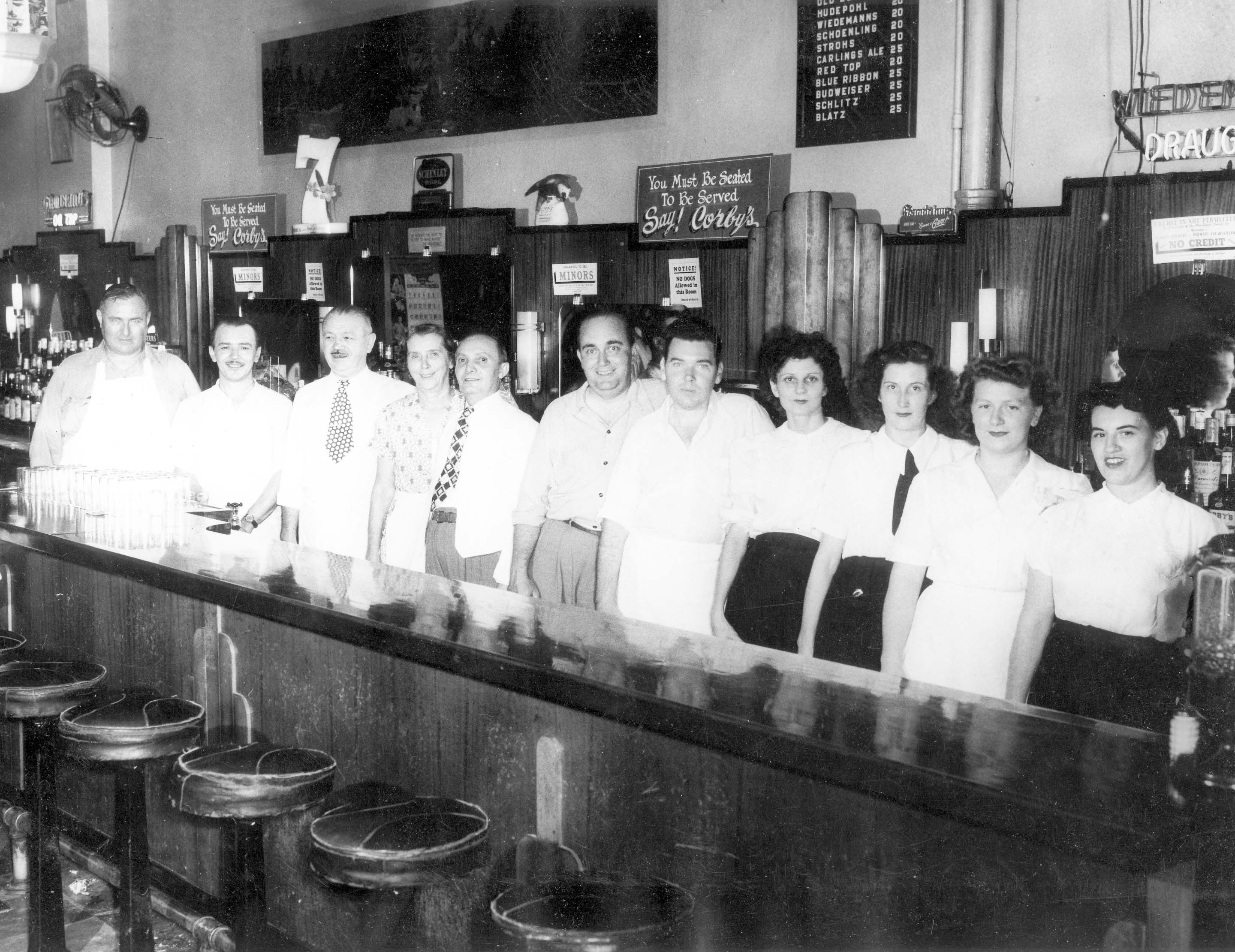
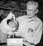
The vacant farm has been put to many uses. During World War II, the land used for victory gardens. (There were also victory gardens near Riverside Hospital.) Children put the area to their own purposes, scrambling through the undergrowth and playing by the river.  Many long-time residents recall a family that lived in the farm house—some have called it a log cabin, others say it was a chicken coop–of the old Fuller Farm. Some say the family was partly Native American; others say partly Romani; in any case, the family’s race added to their mystique and exoticism in the minds of the Clintonville children of the time. The family’s surname was Windsor; Mr. Windsor was a professor at OSU, and many of the people fondly recall daughter Zolithia [or Zelitha] (back row, 4th from left) and her brother Romanus (3rd rw, 2nd from right).
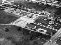
During or shortly after World War II, Rand Hollenback (founder of The Booster) lobbied for remaining land to be converted into a park, and the City of Columbus purchased the 161 acre farm. It became Whetstone Park. From early on the park has included a casting pond, softball diamond, tennis, picnic and playground, and archery field.
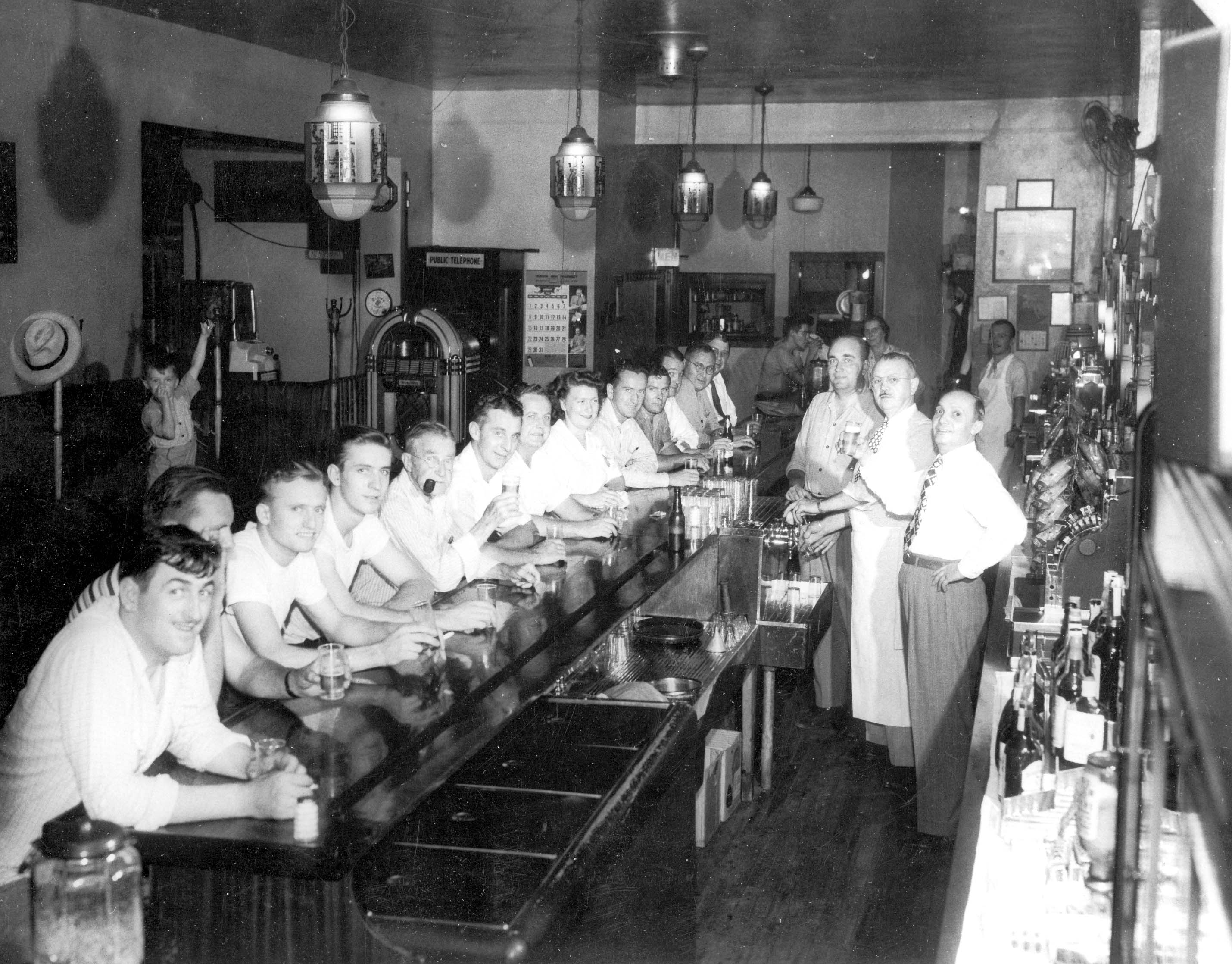
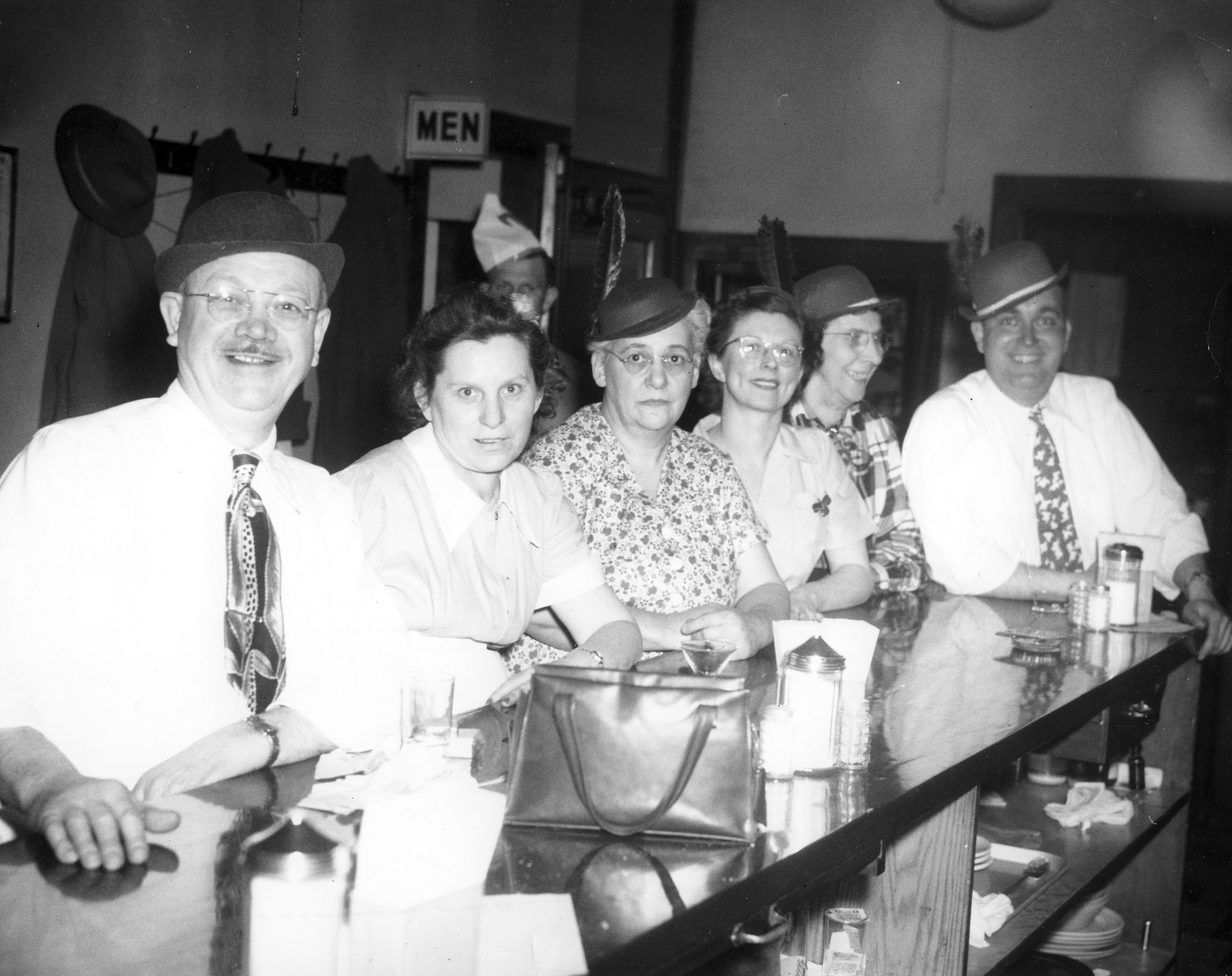
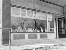 In the late 1940s, photographer Ken Hauer’s studio was located at 4139 North High Street, where a pet grooming studio is now. Hauer took quite a few photographs of the community, including catholic churches and schools. (Photo courtesy of Marge Hauer)

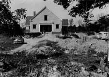
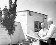 This is a great image of Calvary Bible Church, in its first phase of construction. The church’s original pastor, William A. Ashbrook, was pastor of Glen Echo Presbyterian Church. He resigned and founded an independent, non-sectarian church in 1940, after a lengthy disagreement with the Presbyterian hierarchy. 114 members withdrew from Glen Echo with him. For awhile they met at Medary Elementary School, and in 1941 they purchased the southeast corner of the old Fuller farm, at 3939 North High Street. The war interrupted construction—no building permits were being issued due to the shortage of materials–but in July 1949 the church broke ground. Ashbrook had been a resident of Clintonville for 13 years at the time of the land purchase and lived on North Broadway. In 1950 the new church—a basement and a ground floor–was dedicated. That’s the phase shown in this photo. In 1954 the church was expanded to include an auditorium for 450, classrooms, choir loft, and baptistery; in 1958 it was expanded again to include a parking lot. (Photo courtesy of Calvary Bible Church)