Little Rand
 Rand Hollenback in 1904, at age 4, at the Hollenback’s 3134 North High Street address. Rand grew up to found the Clintonville Booster, and to become a major force in the community. Note the street car lines in the background.


Rand Hollenback in 1904, at age 4, at the Hollenback’s 3134 North High Street address. Rand grew up to found the Clintonville Booster, and to become a major force in the community. Note the street car lines in the background.
 This is what the Hollenback homsestead at 3134 North High Street looked like, looking east/southeast.
 The Olentangy Park Canoe Club, ca. 1906. I’m told that at one time, Clintonville had at least 4 canoe clubs.
According to a transcript of a WBNS-Radio broadcast salute to Clintonville on May 27, 1959 and reprinted in The Clintonville Historical Society’s January 2009 issue of its newsletter, Clintonville Heritage, Clintonville’s first voting booth was located at the corner of Weber and High, and on Election Day, the Ladies Aid Societies would work all day, serving hot dinners to the farmers who came to vote.
Leeann Faust gave me some additional images of the Mathias Armbruster home at 3100 North High Street.
 This photo shows the north side, kitchen door, and the house’s well below the arch. The verso of the photo says “Aunt Flora Armbruster Neilson”.
 The verso of this photo says, “Back of 3100 North High Street [home of Mathias Armbruster] / Steps from Walhalla to Pergola”
 Pauline and Katrina facing west from the kitchen door at 3100 North High Street.
 “Garden and Pergola / North side of [3100 North High Street].”
 This picture shows Albert’s house, located just to the north of 3100 North High Street.
 Another view of Albert’s house taken from the north window of 3100 North High Street.
(Photos courtesy of Leeann Faust.)
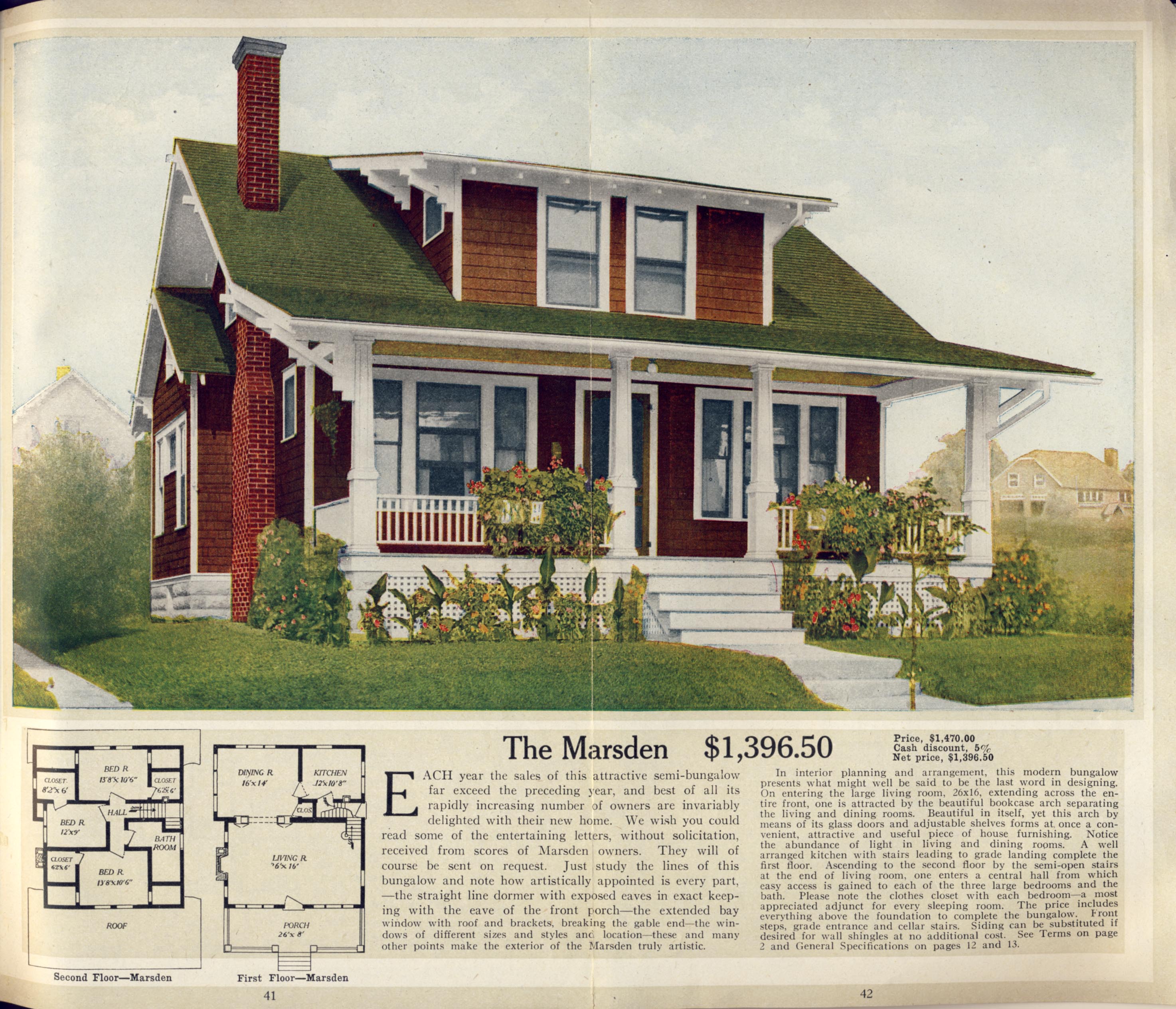
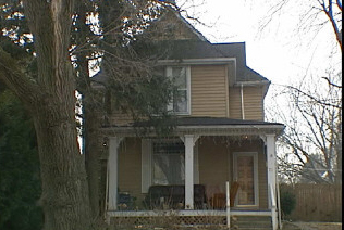
The house at 105 Weber was built around 1915, and current residents Tom and Margo Thacker have been researching the house and the family who lived there until 1965, the Ankrom family. The house itself is an Aladdin kit house; the images above are the Aladdin listing. In 1918 Charles Cornell, a machinist, lived in the house.
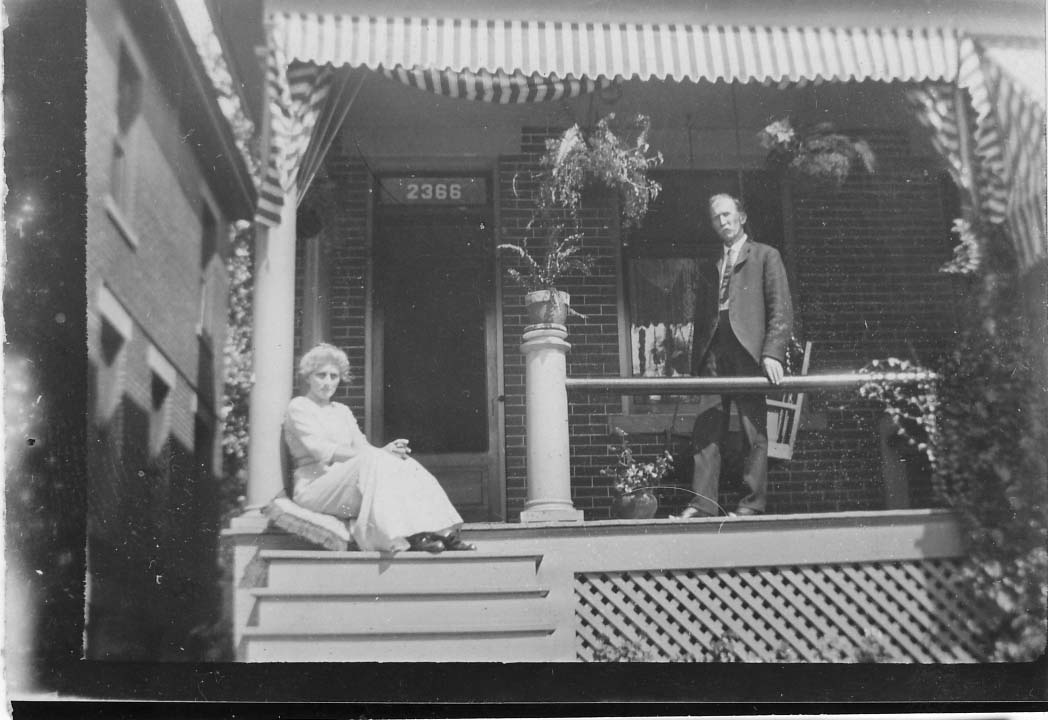 Solomon and Lydia Ankrom (shown to the left), their son Lindsey and their daughter Estella lived at 2366 North High Street in early 1918.
 The Ankroms moved to 105 East Weber (shown in the photo on the right) around 1918/19. Solomon (1857-1935) was possibly a blacksmith, and may have been retired by the time he moved to Weber Road. Lydia Dixon Ankrom (1861-1948) was his wife. The family originally hailed from McArthur Ohio. Solomon and the rest of his family are buried in Sunset Cemetery.
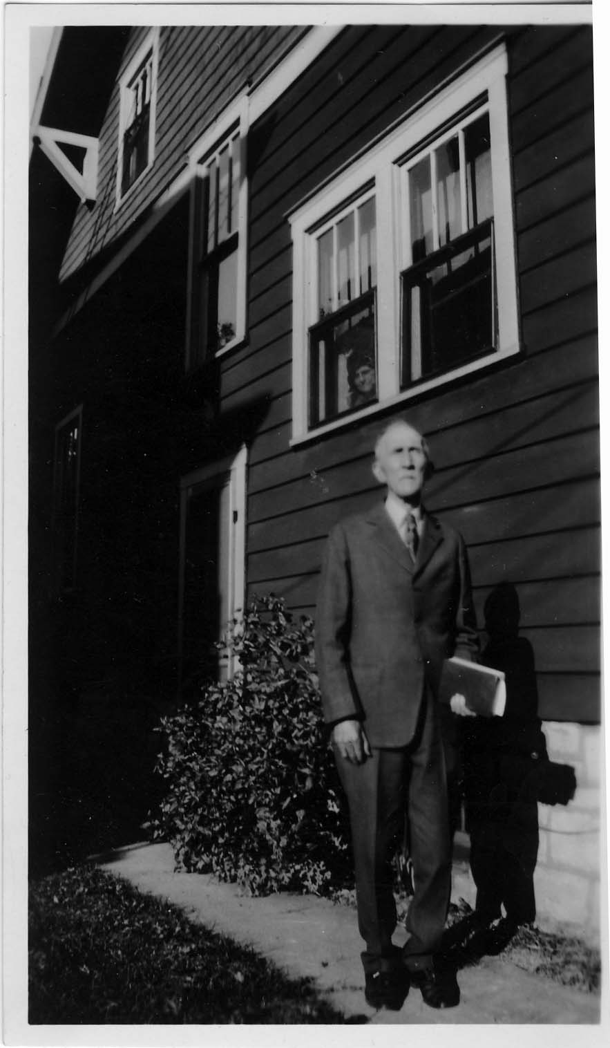
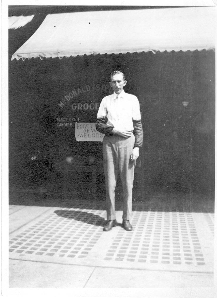
After his marriage, son Lindsey (1884-1971) lived with his wife Grace Hafford Ankrom nearby at 100 Walhalla. In the wintertime the two households could probably wave at each other across the ravine. In 1918 he worked at the McDonald Steube Company Grocer Co., located at 60 East Gay Street. He married Grace Hafford Ankrom (1894-1975) in 1927. Prior to marrying Lindsey, Grace lived in the Hafford house at 100 Walhalla with her sister (and, I think, her brother). Grace was a teacher at Clinton School. For a bit more about this family, check my 100 Walhalla entry on this web site.
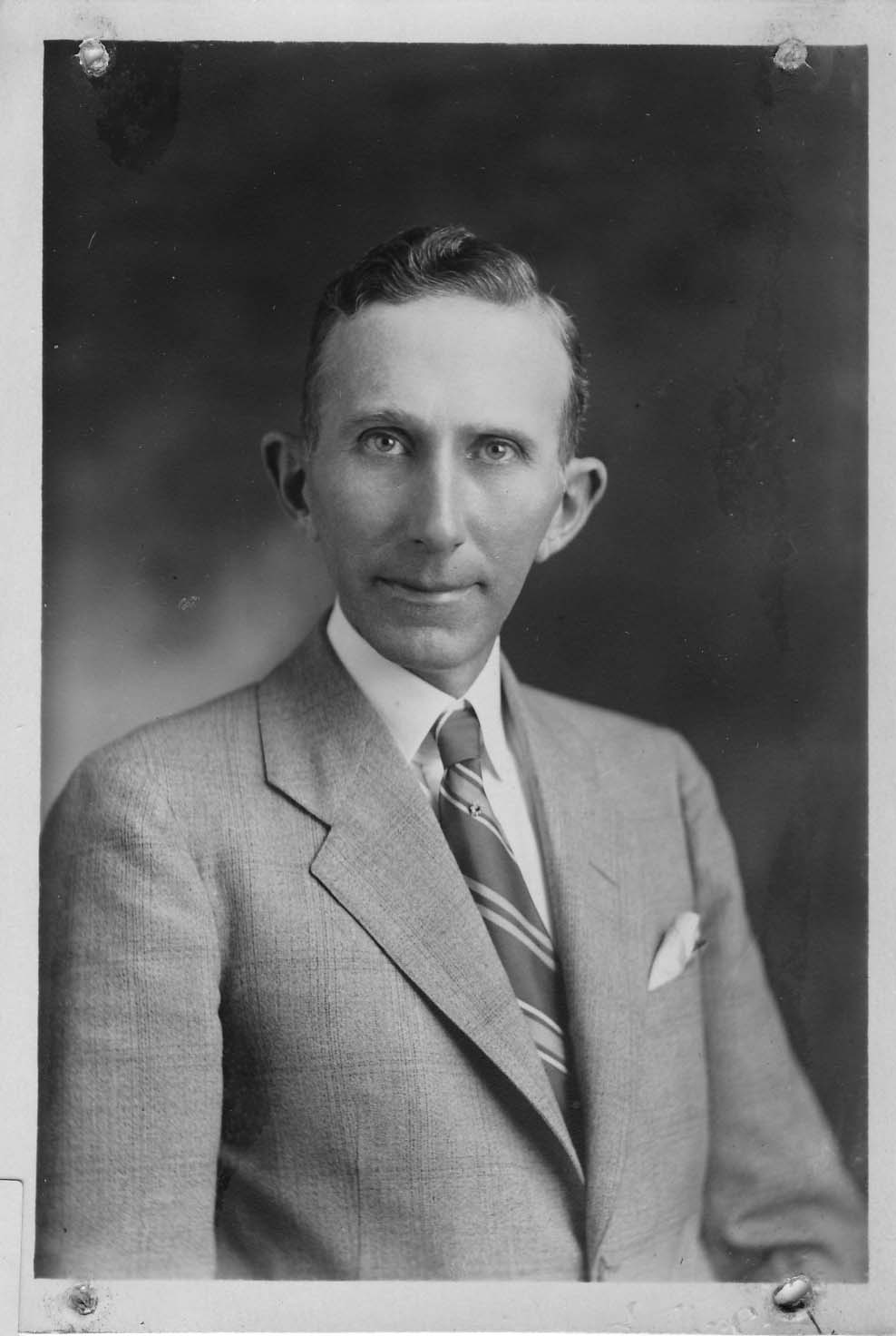
After his marriage, son Lindsey (1884-1971) lived with his wife Grace Hafford Ankrom nearby at 100 Walhalla. In the wintertime the two households could probably wave at each other across the ravine.
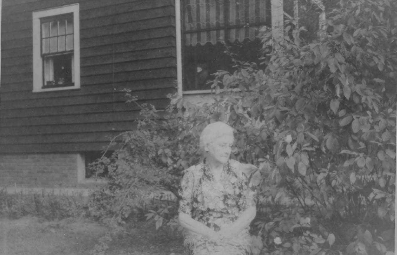
Estella (1888-1987) was Solomon and Lydia’s daughter. Estella never married, and probably lived in the 105 East Weber house until her death in 1987. She worked as a bookkeeper for Columbus Pharmacal on 326-336 Oak Street.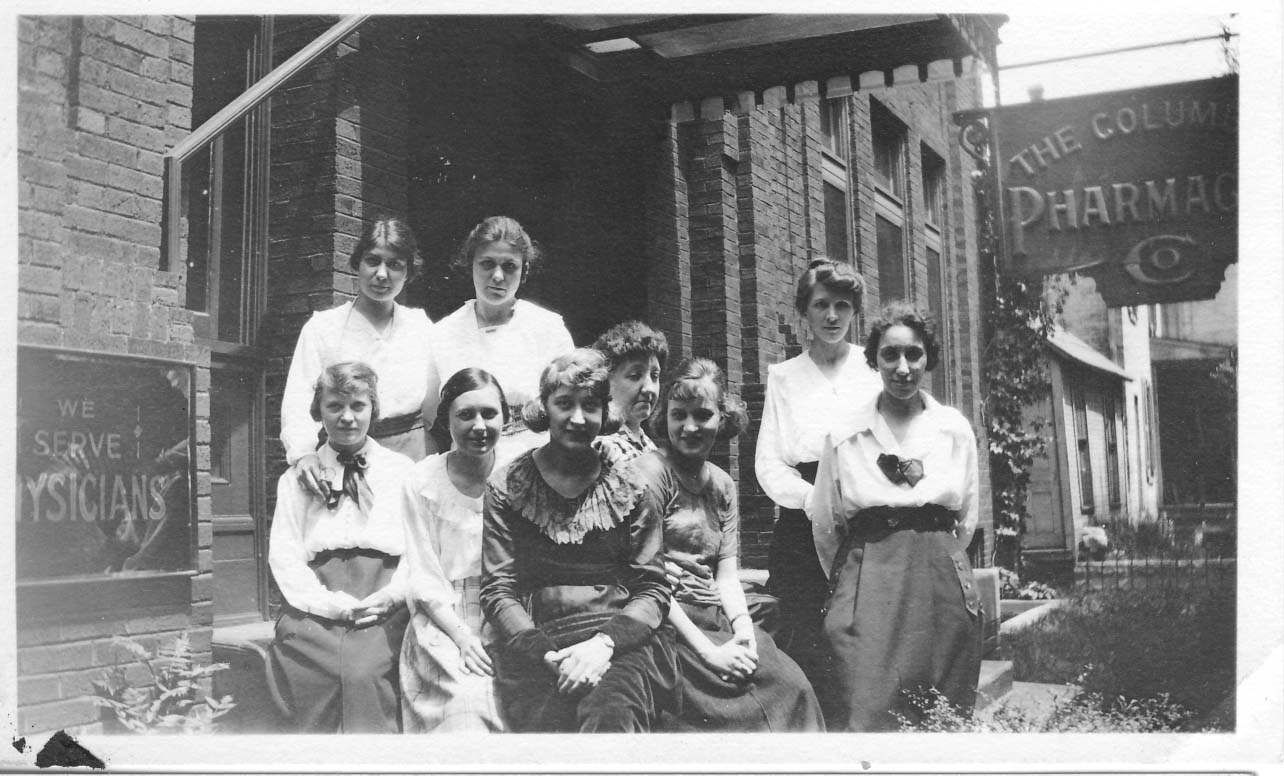
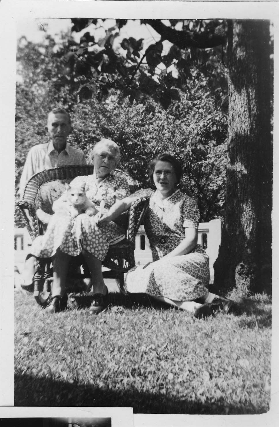
The final member of the Ankrom household was Sunny the cat, life dates unrecorded. Here’s Sunny enjoying Lydia’s lap with Lindsey and possibly Estella.
(Photos courtesy of Tom and Margo Thacker.)

Here is an amazing photograph of High Street, given to me by Stu Koblentz, who found this image in an old student thesis by Forest Ira Blanchard. The photo looks north, taken around 3070 North High. On the right (east) side of High Street I believe is the house of Mathias Armbruster, which later became the Southwick Good Fortkamp Funeral Chapel at 3100 North High Street at Weber and High. I’m told that some gravestones from the old burial ground are visible on the right. Check my book, Clintonville and Beechwold, for a better photo of this house. You can click on the image to see it in more detail.
[Citation: Blanchard, Forest Ira. 1922. An introduction to the economic and social geography of Columbus, Ohio. Thesis (M.A.)–Ohio State University, 1922. On January 16, I replaced the grainy version of this image on this web site with a higher quality photo after Joe Smith alerted me to its existence.]

And another amazing old photo of North High Street from Stu Koblentz. This photo also looks north, and was taken just south of the intersection of High and North Broadway. The house on the west (left) behind the little shack (marked “ice”) is the Chesnut house (aka Chestnut house), described in this web site’s “Water for Cookies” entry and also found in my book. The school on the east (right) side of High Street is the old Clinton Township school building, a picture of which is also in my book. You can click on the image to see it in more detail.
Stu’s theory about the Chesnut house is as follows:
The image shows the Chesnut house, facing North High Street, about where it currently stands. The facade that faces Wall Street today is the facade facing High Street. This is verifiable in the chimney placements.
So I went through Joe Testa’s web site and I think I know what happened to the house.
As far as I can tell the house stood approximately at 3327-29 North High Street. In the 1910s, when the house (which appears to have been built in the 1860s or 70s) is pictured, the house had been moved on a pivot to its current location, with its northeast corner remaining close to its original placement. This would account for the front lot build out, the twist in the alley and the sudden reemergence of Wall Street as well as the placement of the house in the picture, and the current location of the house.
What is interesting to me is why did they go to all that trouble, when its fairly common in urban settings to build a street facade onto a house and call it a commercial building. I think that part of the reason is that the house sat further back from High Street, making it too far away to convert to a commercial space commonly found in that era.
Update 2025-08-25 by Shirley–Another possible reason for reorienting this house might be found here.
 In another post, I mentioned that Gordon Brevoort had given a presentation to the Clintonville Historical Society on the history of Clintonville. He also made a map of the community as he remembers it in the 1930s.
You’ll find other information on this web site about the Brevoorts by clicking here.
(Map courtesy of Gordon Brevoort and the Clintonville Historical Society)
 Perhaps the first house to be built on East Como was this house at 71 East Como. The owner from 1908-1926 said he recalled a little brook that ran near the house and a footbridge leading to High Street.