Beechwalde Cont’d #3
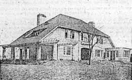
Compare this watercolor from the promotional brochure for Beechwold, Beechwold the Beautiful, to the image found in my book, Clintonville and Beechwold, on page 26. (Image courtesy of Karen Sweigart Longava.)
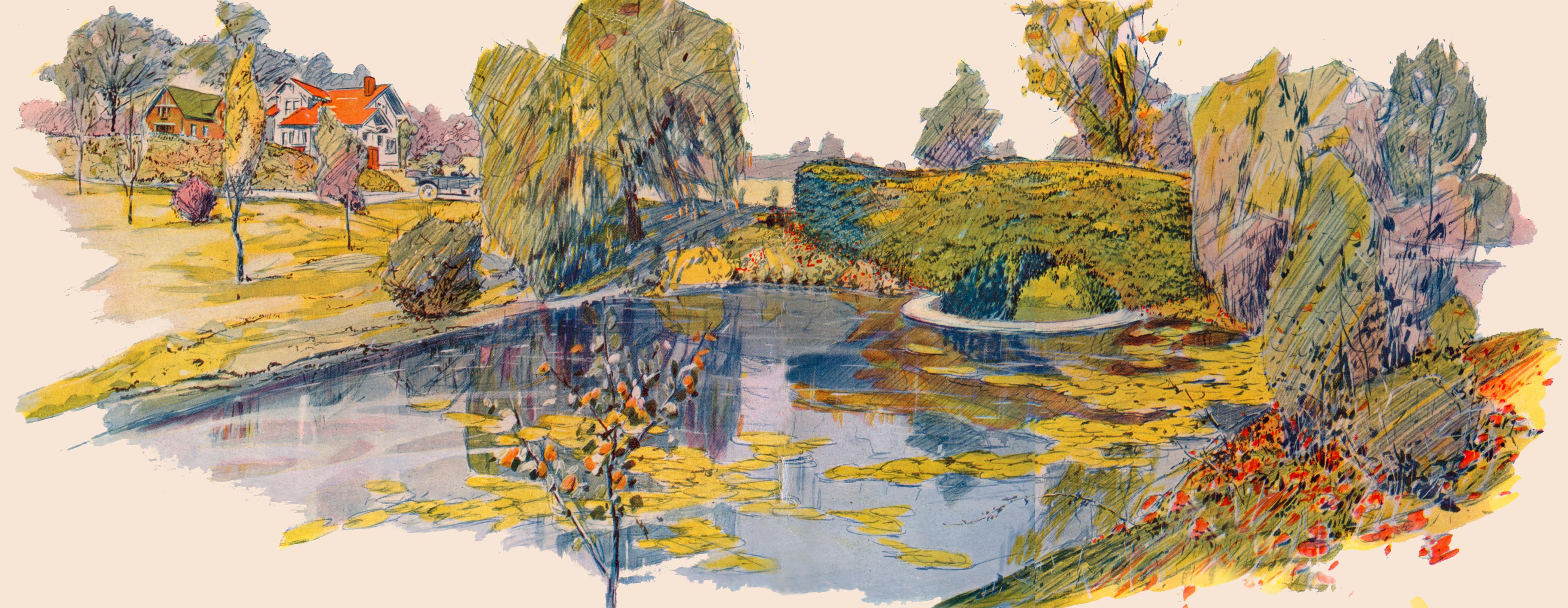

Compare this watercolor from the promotional brochure for Beechwold, Beechwold the Beautiful, to the image found in my book, Clintonville and Beechwold, on page 26. (Image courtesy of Karen Sweigart Longava.)
 In 1915, there were plans to build a hospital on the corner of Indianola and Olentangy Avenue adjacent to Glen Echo Park. The hospital would cost a quarter of a million dollars and would include several buildings: surgical, medical, maternity, contagious, laboratory, power plant, and nurses’ home. It was to be called Columbus General Hospital and was an outgrowth of Lawrence Hospitals. The goal was to take care of the needs of the rapidly growing north side.
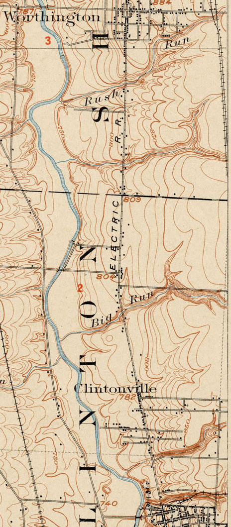
This 1903 topographic map shows the road configuration of the intersection of East North Broadway and High Streets. To orient yourself, remember that there were no bridges across the Olentangy River between Dodridge and Henderson, so Dodridge is the southern bridge and Henderson next bridge north of that. Calumet Street did not exist, and many other side streets had as yet to be developed, or were called by different names than they are today.
The Worthington Pike, now called High Street, was supported by funds collected from a toll gate which was located opposite from Olentangy Park. The gate was operated by the Applican family, parents of Mrs. N. E. McCoy. The pole was let down each night and not opened until 4:00 a.m. Dr. Albert Cooper was the North Columbus physician at that time. If he had gone north on a call. the toll keeper always waited up for him or else was roused from his sleep in the night to raise the pole and let the doctor pass through on his homeward trip. –from an old undated newspaper clipping
One of my favorite maps is this one from Baist’s Atlas, produced around 1920. Someone sent it to me while I was working on my book. Note that North High School had not yet been built on Arcadia.
“The Dominion Land Company has purchased the Whipp and Ingham farm containing 90 acres of land, Stop 15 C.D. & M. on North High Street. The ground was purchased by the company to supply numerous customers with large lots where the soil is rich. It is to be platted into extremely large lots and will be sold on easy terms so as to enable a great number of people to follow their regular work in the City and at the same time, have lands where they can have a nice garden and keep a few chickens and thus help the problem of the high cost of living…The name of this sub-division will be Highland Gardens.” –from The Dominion Land Company Columbus Home News, May 1913, Volume 1 Number 2.
(This photo is Louise Corp on Tulane Road, but I’m sure the chickens of Highland Gardens looked much the same. Photo courtesy of the Clintonville Historical Society.)
 “The natural beauty of these lands would inspire even one not familiar with the business of platting of allotments. The elevation of this tract is nearly 920 feet above sea level. The middle section of these lands slope both east and west and to the south, thus giving the sunny side of the hill in winter and the shady side in Summer. The view from the top of the hill is the most magnificent and inspiring sight in or around Columbus. The rolling valley of the Olentangy River, dotted with beautiful forest trees, bungalows and other types of homes, show a real masterpiece of Nature’s Handiwork. Back of the beautiful valley the rising hills continue for miles and miles. The view in any direction from this beautiful location is almost without bounds…This new tract will be known as the Dominion Park Addition.” –from The Dominion Land Company Columbus Home News, May 1913, Volume 1 Number 2.
Caption: Dr. D.G. Sanor residence at the entrance to the Indian Springs Addition
According to a transcript of a WBNS-Radio broadcast salute to Clintonville on May 27, 1959 and reprinted in The Clintonville Historical Society’s January 2009 issue of its newsletter, Clintonville Heritage, Clintonville’s first voting booth was located at the corner of Weber and High, and on Election Day, the Ladies Aid Societies would work all day, serving hot dinners to the farmers who came to vote.
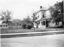 Como has a venerable history. The house of one of the Bull family members was located on Como; the oldest house in Clintonville is reputed to be there; Howard Westervelt (founder of North Broadway Methodist Church) lived there.
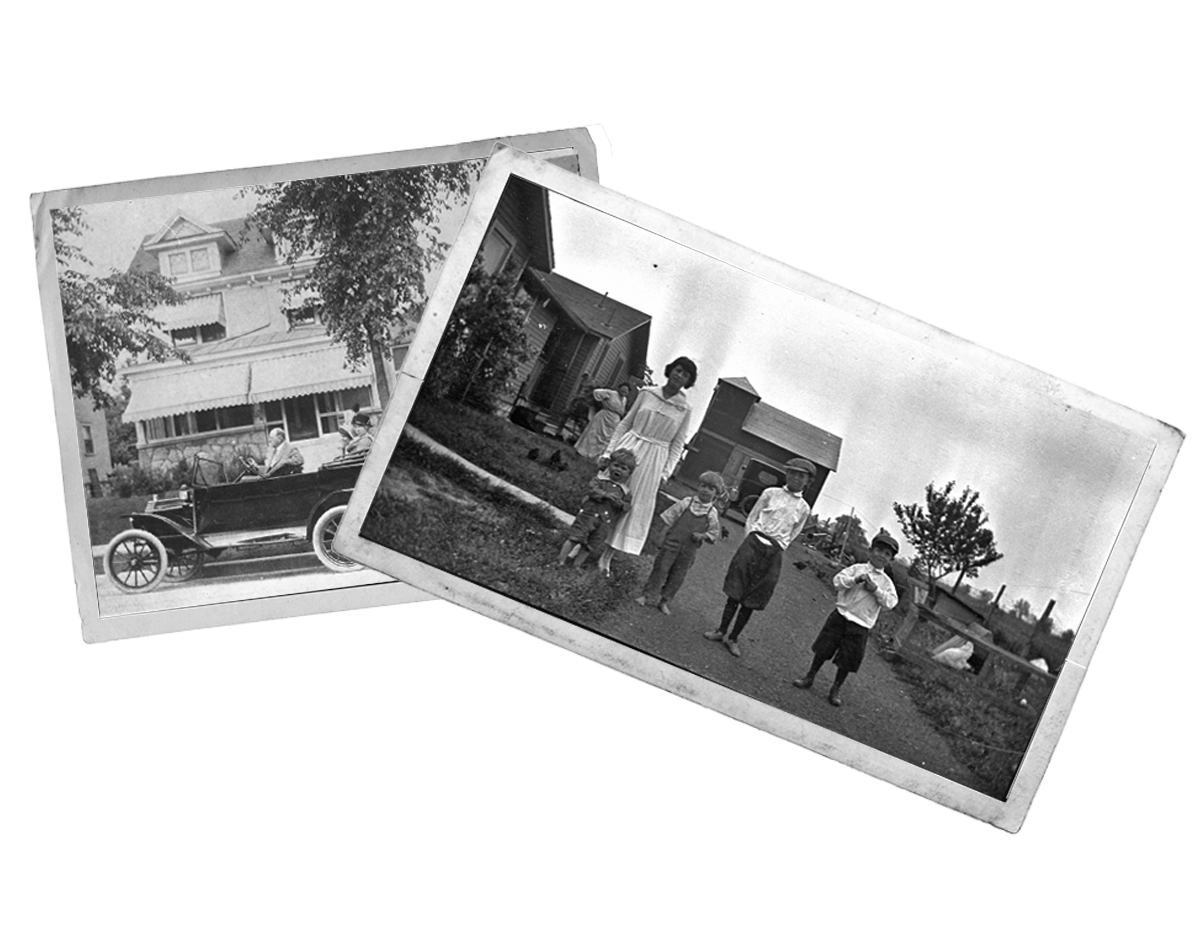
This charming house is located at 57 West Como and was built around 1903. The picture was taken sometime before 1926. (Photo courtesy of Verna Rogers)
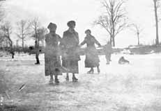 The river was a favorite skating spot in the early part of the century. Children also sledded on East North Broadway, and on “Mooney hill” at 259 Walhalla Road. In the summertime, there was a swimming hole colloquially called Bare-ass Beach in what is now Whetstone Park plus a legendary skinny-dipping spot in the river at the “Holt farm” near the C.D.& M. Interurban line’s Stop 18 around Lincoln and High. (Photo courtesy of Amy Westervelt)