

Maps
What you’ll find here are some of my favorite maps, showing the growth and development of Clintonville.
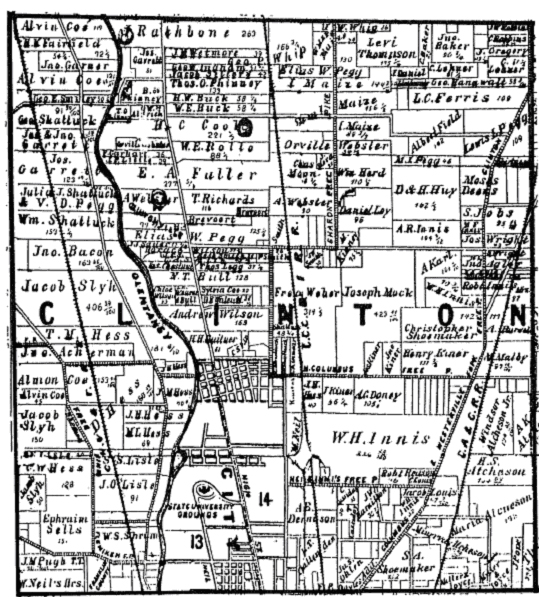
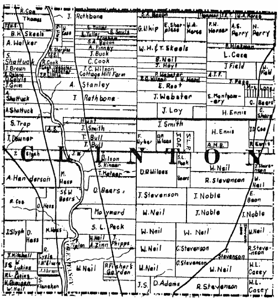 1842
1842
from Caldwell’s Atlas of Franklin County
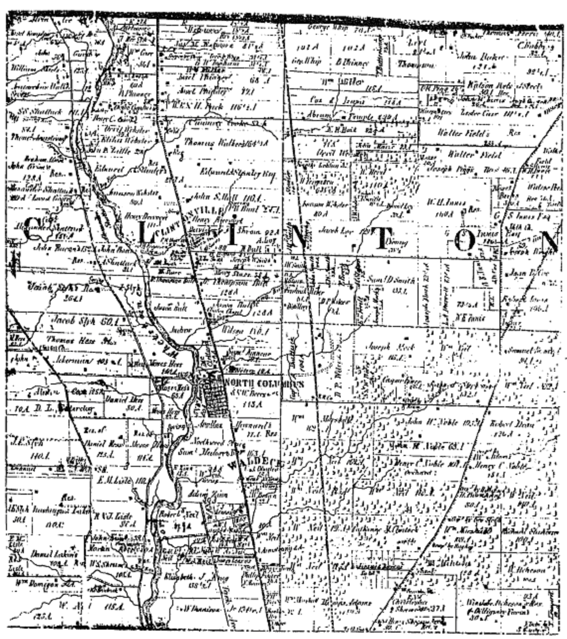
1856
from Caldwell’s Atlas of Franklin County
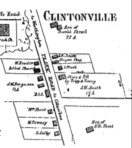
1856 pt 2
Downtown Clintonville –
from Caldwell’s Atlas of Franklin County
1872
from Caldwell’s Atlas of Franklin County and of the City of Columbus, Ohio
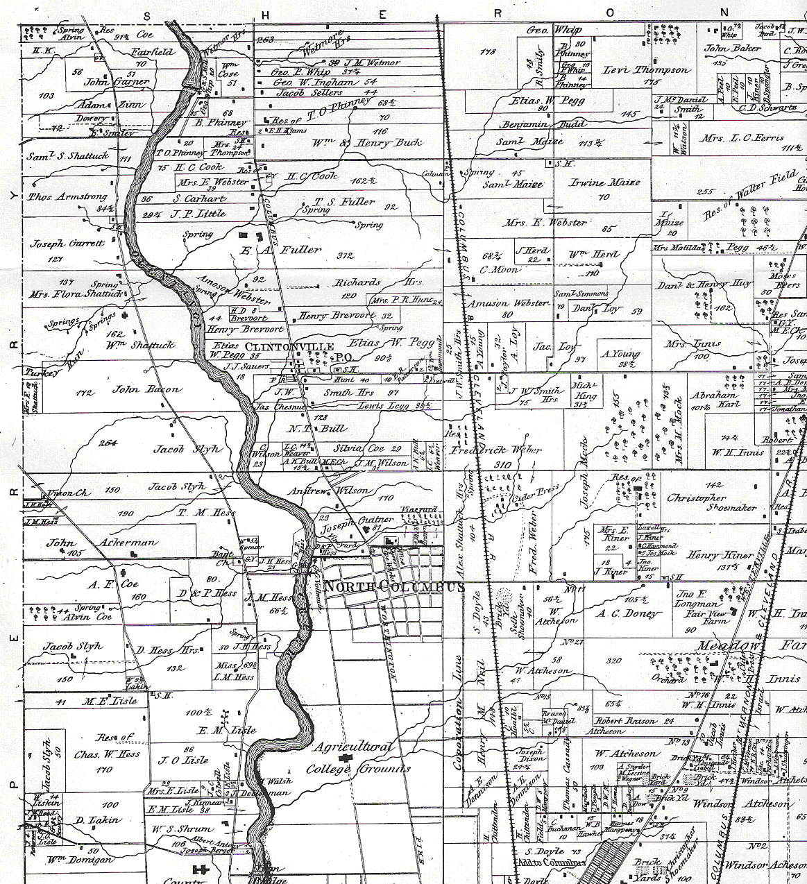
1883
from Caldwell’s Atlas of Franklin County
 1903
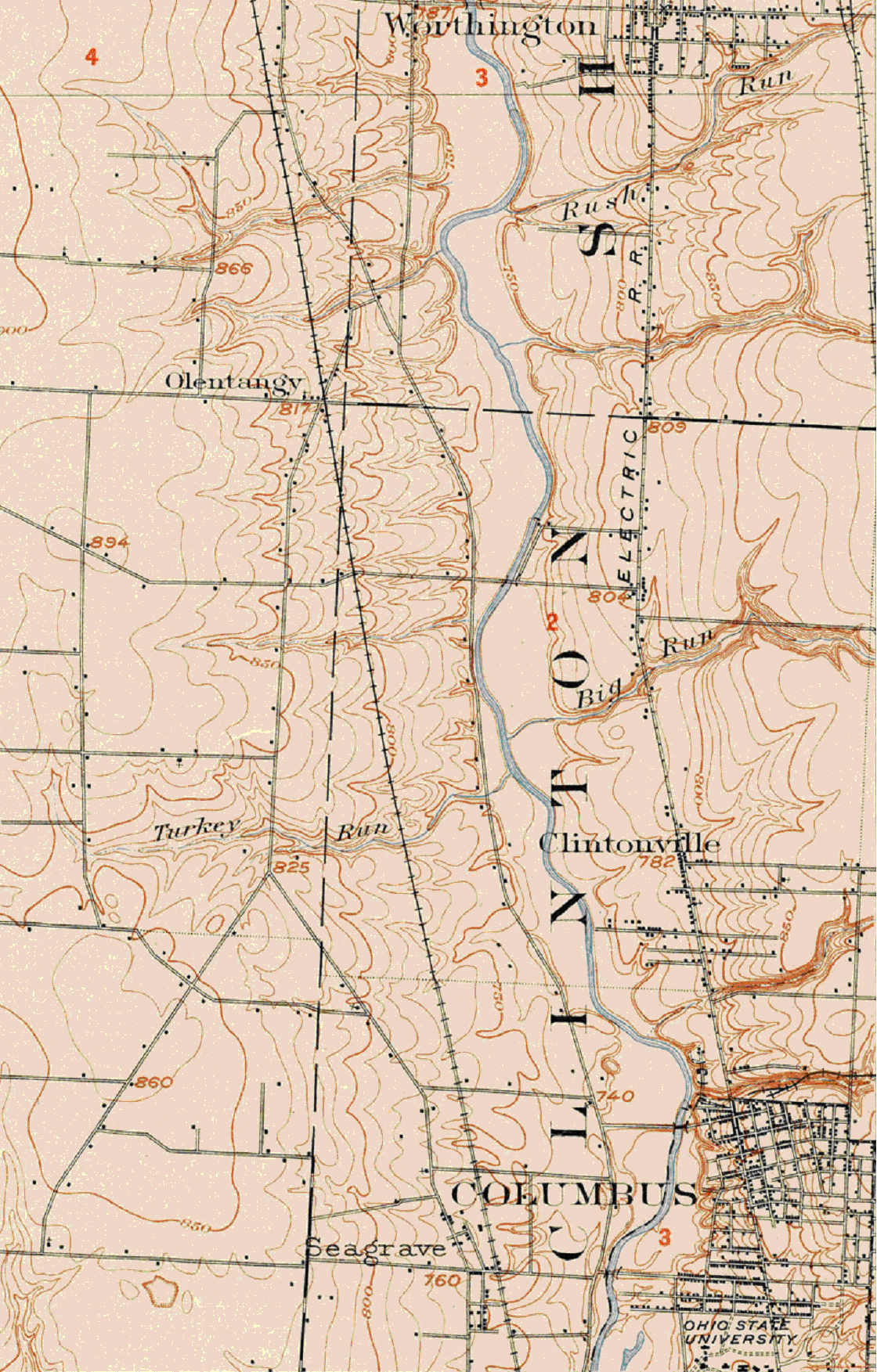
1903
from USGS Dublin Quadrangle, detail for Clintonville

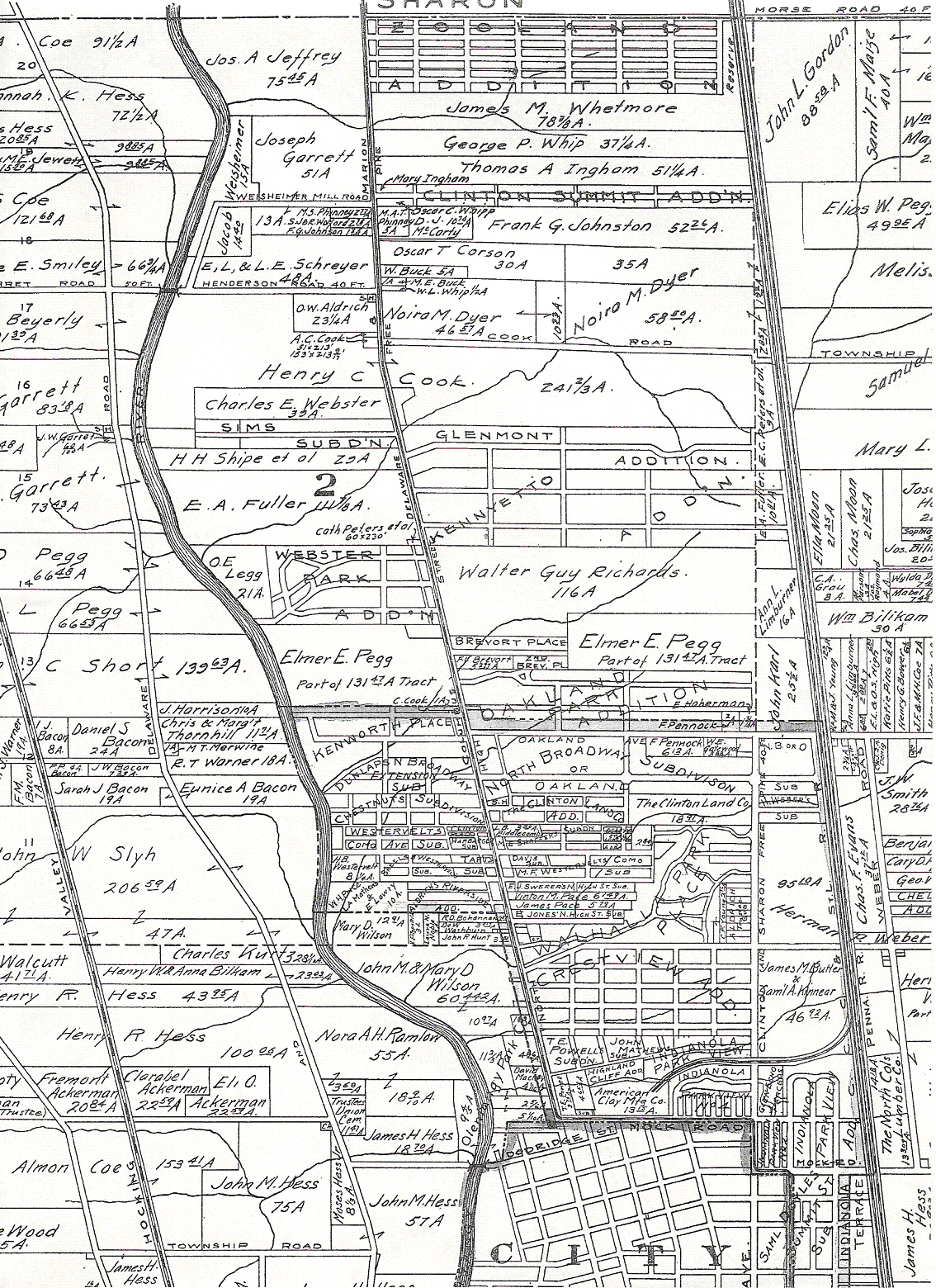
1910
Clinton Township – from Modie & Kilmer’s
Folio Atlas of Franklin County
1910 pt 2
Clintonville part of Modie & Kilmer’s
Folio Atlas of Franklin County
1910
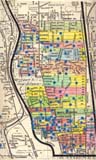
South Clintonville – from Baist’s Atlas
(digitized by John Krygier, Ohio Wesleyan University,
Mellon Foundation Grant, 2011)

1920
from Baist’s Atlas [digitized by the City of Columbus]
1990s
Map of Housing Developments by Paul Bingle
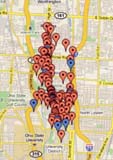
2009
Locations of places mentioned in
Hyatt’s Clintonville & Beechwold